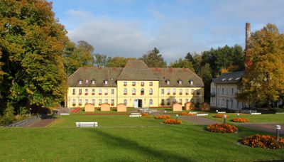
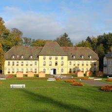
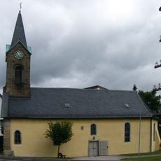
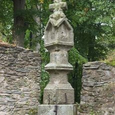
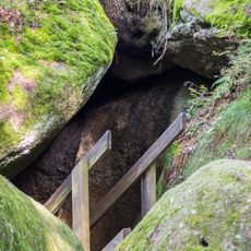
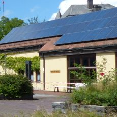
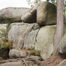
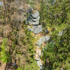
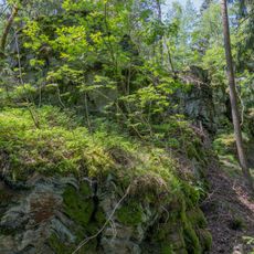
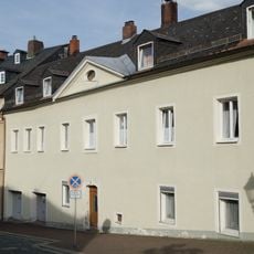
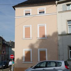
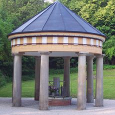
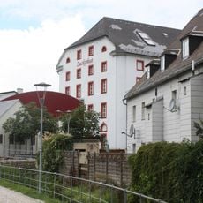
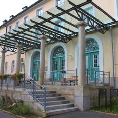
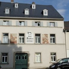
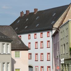
Bad Alexandersbad, municipality of Germany
Location: Wunsiedel
Elevation above the sea: 578 m
Part of: Verwaltungsgemeinschaft Tröstau
Shares border with: Marktredwitz, Tröstauer Forst-Ost, Wunsiedel
Website: http://badalexandersbad.de
GPS coordinates: 50.01667,12.01667
Latest update: March 16, 2025 05:16
Landschaftsgarten
1.7 km
Burgstein
2.6 km
Schloss
70 m
Greifvogelpark Katharinenberg
1.8 km
Heilig-Geist-Kirche
4.4 km
Burgsteinfelsen
2.5 km
Kirchenruine
1.9 km
Luisenburg
1.7 km
Haus des Gastes
35 m
Luisenburg, Gipfel der Großen Kösseine und Kleines Labyrinth
2.5 km
Felsburg Püttnersfels SW von Kleinwendern
2.9 km
Wenderner Stein E von Kleinwendern
2.3 km
Cultural heritage D-4-79-169-33 in Wunsiedel
2.3 km
Gymnasium
2.3 km
Cultural heritage D-4-79-169-71 in Wunsiedel
2.4 km
Schloss Alexandersbad
162 m
Mühle
2.3 km
Kurhaus
136 m
Wanderblöcke SW von Kleinwendern
2.5 km
Kleiner Haberstein-Felsen (Kösseine-Massiv) W von Kleinwendern
2.8 km
Wappen
2.3 km
Cultural heritage D-4-79-169-34 in Wunsiedel
2.4 km
Alter Theaterplatz
1.9 km
Cultural heritage D-4-79-169-32 in Wunsiedel
2.4 km
Cultural heritage D-4-79-169-31 in Wunsiedel
2.3 km
Cultural heritage D-4-79-169-39 in Wunsiedel
2.4 km
Druckerei
2.4 km
Amtsgericht
2.3 kmReviews
Visited this place? Tap the stars to rate it and share your experience / photos with the community! Try now! You can cancel it anytime.
Discover hidden gems everywhere you go!
From secret cafés to breathtaking viewpoints, skip the crowded tourist spots and find places that match your style. Our app makes it easy with voice search, smart filtering, route optimization, and insider tips from travelers worldwide. Download now for the complete mobile experience.
A unique approach to discovering new places❞
— Le Figaro
All the places worth exploring❞
— France Info
A tailor-made excursion in just a few clicks❞
— 20 Minutes