
Pemfling, municipality of Germany
Location: Cham
Elevation above the sea: 431 m
Website: http://pemfling.de
GPS coordinates: 49.26667,12.61667
Latest update: March 3, 2025 20:28
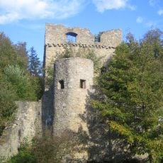
Burg Kürnberg
5.2 km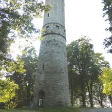
Luitpold Tower
5 km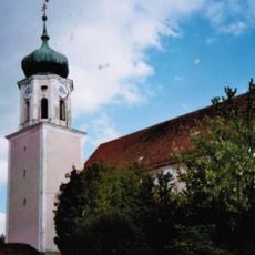
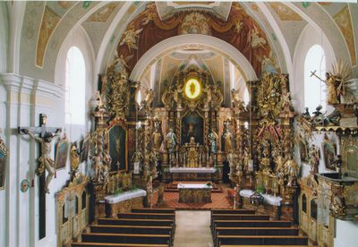
St. Johann Baptist
6.2 km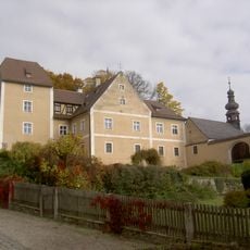
Schloss Waffenbrunn
3.5 km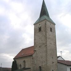
Schloss Katzberg
4.8 km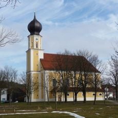
St. Andreas
350 m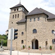
Mariä Himmelfahrt (Waffenbrunn)
3.6 km
Burgstall Ödschloss
2.6 km
St. Ägidius
4.8 km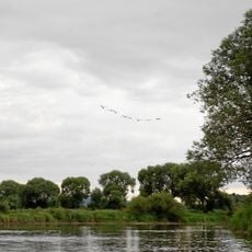
Regentalaue zwischen Cham und Pösing
5.1 km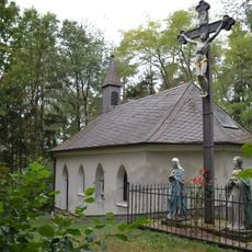
Kalvarienbergkapelle
509 m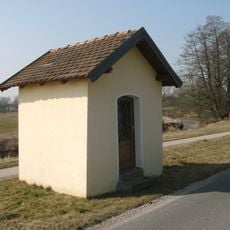
Marienkapelle Auf der Altern Michelsdorf
5.5 km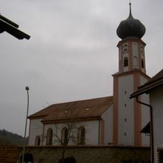
St. Laurentius
4.1 km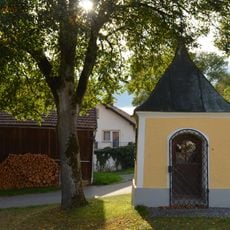
Breu-Kapelle
444 m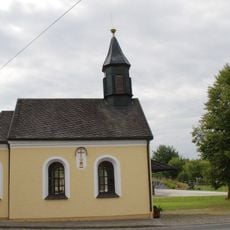
Katholische Nebenkirche Hl. Familie
2.2 km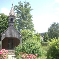
Kapelle
4.8 km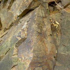
Felsaufschlüsse am Bahnhof Cham
5.5 km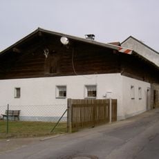
Bauernhaus (Katzberg, Cham)
4.8 km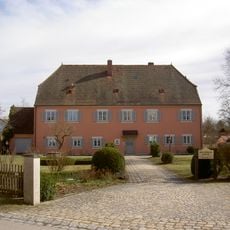
Pfarrhof Pemfling
267 m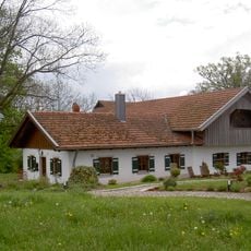
Waldlerhaus
2 km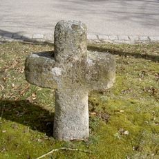
Steinkreuz Pemfling
381 m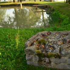
Schleifschalenstein
439 m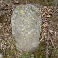
Grenzstein
5.1 km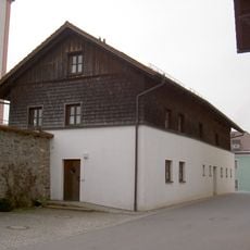
Ehemaliges Schulhaus
4.1 km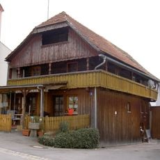
Kramerhäusl
4.1 km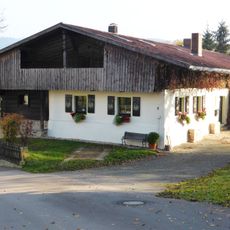
Waldlerhaus
1.5 km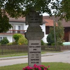
Gefallenendenkmal
1.4 km
Bauernhaus
5.5 kmVisited this place? Tap the stars to rate it and share your experience / photos with the community! Try now! You can cancel it anytime.
Discover hidden gems everywhere you go!
From secret cafés to breathtaking viewpoints, skip the crowded tourist spots and find places that match your style. Our app makes it easy with voice search, smart filtering, route optimization, and insider tips from travelers worldwide. Download now for the complete mobile experience.

A unique approach to discovering new places❞
— Le Figaro
All the places worth exploring❞
— France Info
A tailor-made excursion in just a few clicks❞
— 20 Minutes