
Sonnen, municipality of Germany
Location: Passau
Elevation above the sea: 836 m
Shares border with: Hauzenberg, Wegscheid, Breitenberg, Jandelsbrunn
Website: http://sonnen.eu
GPS coordinates: 48.68472,13.72361
Latest update: March 7, 2025 06:24

Erlauzwieseler See
7.3 km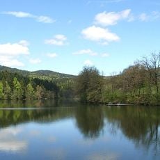
Freudensee
6.9 km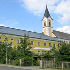
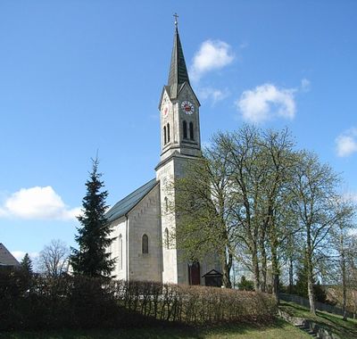
Church of St Raymond of Penyafort
5.7 km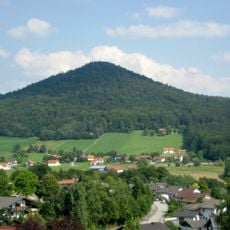
Staffelberg
6.5 km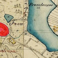
Burg Freudensee
7.2 km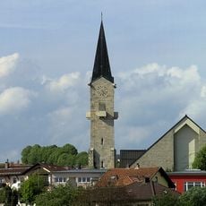
St. Vitus
8.3 km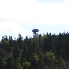
Oberfrauenwald
4.8 km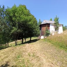
Rothmühlkapelle
7 km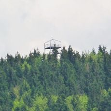
Friedrichsberg
6.3 km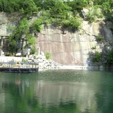
Steinbruch Schachet beim Granitzentrum Hauzenberg
8.6 km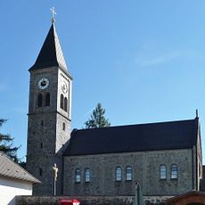
Katholische Pfarrkirche Unbefleckte Empfängnis Mariä
5.6 km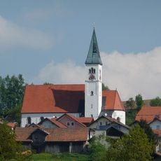
Sieben Schmerzen Mariens
11.6 km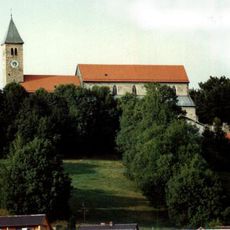
Wallfahrtskirche St. Ägidius
5.6 km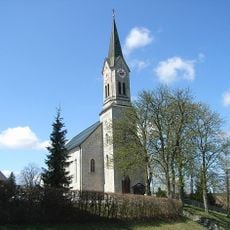
Pfarrkirche Maria Himmelfahrt
154 m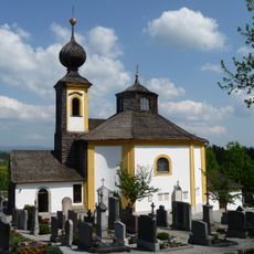
Saint Anne chapel in Wegscheid
10.6 km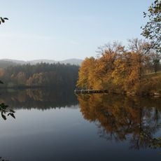
Schutz des Freudensees und von Landschaftsteilen um den Freudensee (LSG Freudensee)
6.9 km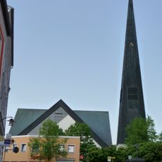
St. Johannes der Täufer
10.4 km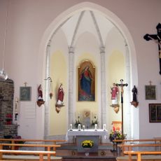
Chapel in Kasberg
8 km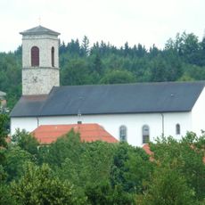
St. Leonhard
7.3 km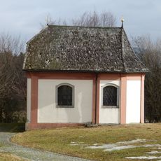
Wasserkapelle in Wegscheid
10.6 km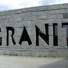
Granitmuseum Bayerischer Wald
8.6 km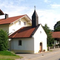
Ortskapelle
7.7 km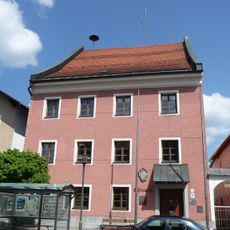
Rathaus, ehemaliges Landgericht
10.4 km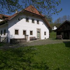
Ehemals Bauernhaus
4 km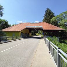
Grenzbrücke über die Große Mühl
6.9 km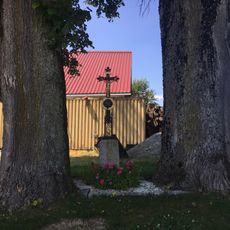
Wegkreuz bei Hinteranger 25
8.4 km
Frauenbachbrücke
7.7 km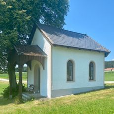
Kapelle bei Hinteranger 53
8.5 kmVisited this place? Tap the stars to rate it and share your experience / photos with the community! Try now! You can cancel it anytime.
Discover hidden gems everywhere you go!
From secret cafés to breathtaking viewpoints, skip the crowded tourist spots and find places that match your style. Our app makes it easy with voice search, smart filtering, route optimization, and insider tips from travelers worldwide. Download now for the complete mobile experience.

A unique approach to discovering new places❞
— Le Figaro
All the places worth exploring❞
— France Info
A tailor-made excursion in just a few clicks❞
— 20 Minutes