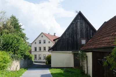
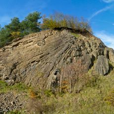
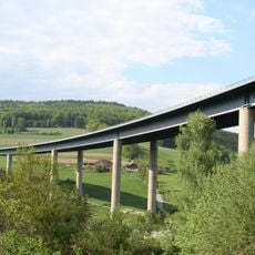
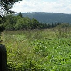
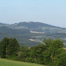
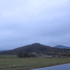
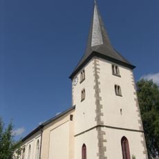
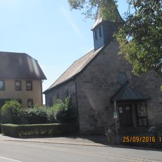
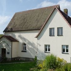
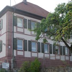
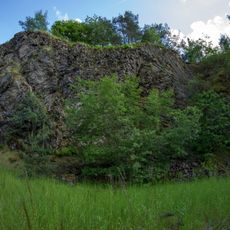
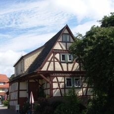
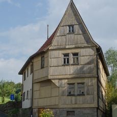
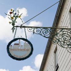
Geroda, market municipality of Germany in Bavaria
Location: Bad Kissingen
Elevation above the sea: 442 m
Part of: Verwaltungsgemeinschaft Bad Brückenau
Shares border with: Riedenberg, Burkardroth, Waldfensterer Forst, Oberthulba, Geiersnest-Ost, Schondra, Oberleichtersbach
Website: http://geroda.de
GPS coordinates: 50.28306,9.90000
Latest update: March 11, 2025 04:35
Lindenstumpf
2.9 km
Sinntalbrücke
5.3 km
Totnansberg
4.8 km
Platzer Kuppe
1.7 km
Mettermich
3.9 km
Fahrenbach
5.2 km
Riesenbuche bei Oberbach
5.3 km
Hannesebuche
5.1 km
Pfarrkirche
4.8 km
Kuratiekirche
4.9 km
Wendelinuskapelle (Waldfenster)
4.3 km
Pfarrkirche
3 km
St. Martin (Geroda)
392 m
Judenfriedhof
1.5 km
Filialkirche
4.4 km
Einigkeitskapelle
2.5 km
Schwarze Berge
1.6 km
Kapelle
3.6 km
Synagoge
403 m
Pfarrhaus
4.9 km
Basaltbruch am Lindenstumpf bei Schondra
2.9 km
Basaltsee am Farnsberg (Tintenfass) ESE von Riedenberg
3.9 km
Bildstock
2.6 km
Bildstock
4.3 km
Jüdisches Gemeindehaus
419 m
Wohnwirtschaftsgebäude
524 m
Wohnhaus
427 m
Wirtshausschild
1.3 kmVisited this place? Tap the stars to rate it and share your experience / photos with the community! Try now! You can cancel it anytime.
Discover hidden gems everywhere you go!
From secret cafés to breathtaking viewpoints, skip the crowded tourist spots and find places that match your style. Our app makes it easy with voice search, smart filtering, route optimization, and insider tips from travelers worldwide. Download now for the complete mobile experience.
A unique approach to discovering new places❞
— Le Figaro
All the places worth exploring❞
— France Info
A tailor-made excursion in just a few clicks❞
— 20 Minutes