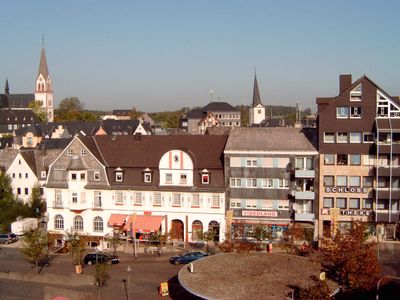
Kastellaun, Urban municipality in Rhineland-Palatinate, Germany.
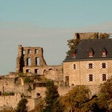
Kastellaun is a municipality in Rhineland-Palatinate situated at 450 meters elevation between the Moselle, Rhine, and Nahe rivers in the eastern Hunsrück region. The town developed historically around a castle built by the Counts of Sponheim and remains centered on this foundation.
The place was first documented in 1226 and received town rights from Count Simon II in 1305. This early recognition as a town marked the beginning of sustained economic and political growth.
The old town displays medieval castle ruins, historic churches, and remnants of ancient fortifications that shape the local landscape. These structures are woven into everyday streets and remain part of how people experience the place today.
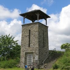
An indoor swimming pool, fitness areas, miniature golf courses, and walking paths offer visitors various recreational options on site. The walking routes through the surrounding countryside are accessible for different activity levels and fitness abilities.
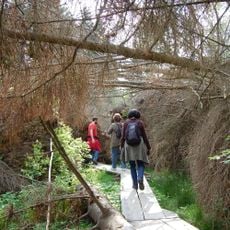
The Kyrill Path shows the natural recovery process following severe storm damage and allows visitors to witness forest regeneration firsthand. This walking route offers insights into ecological processes that usually remain hidden from view.
The community of curious travelers
AroundUs brings together thousands of curated places, local tips, and hidden gems, enriched daily by 60,000 contributors worldwide.