Nastätten, municipality of Germany
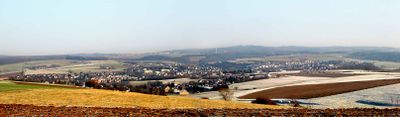
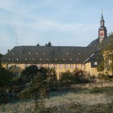
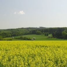
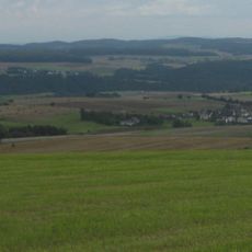
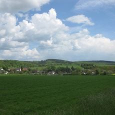
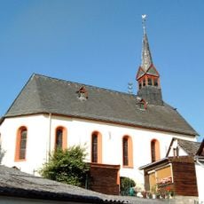
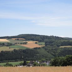
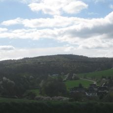
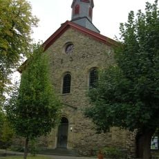
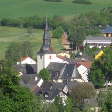
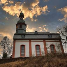
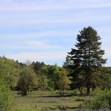
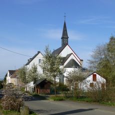
Nastätten is a small town in the Rhein-Lahn region of Germany, offering various options for visitors and residents. The town features half-timbered historic buildings, a medieval church, and sits close to the Rhine River, which allows for walking trails and boat trips in the surrounding area.
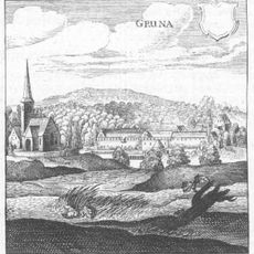
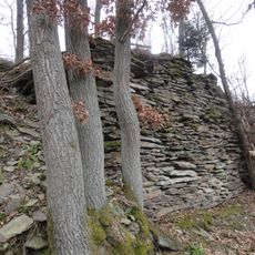
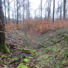
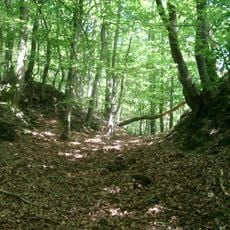
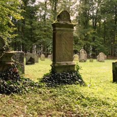
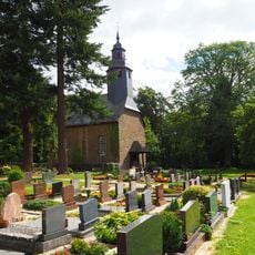
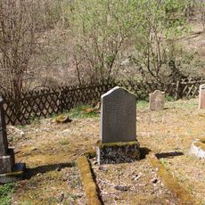
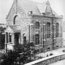
Nastätten was inhabited during the Hallstatt period, as shown by archaeological finds of graves with clay vessels and metal objects. The first written mention of the town dates to 893 in a monastery document, and during the Middle Ages it was part of various ruling territories, with the Romanesque church built around 1260.
Nastätten's name reflects its ancient roots, possibly relating to wetland or rocky terrain from centuries past. The town maintains connections to traditional crafts like weaving and textile production that shaped generations of local residents.
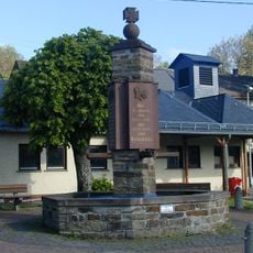
The town is easily accessible by car, bus, or bike and offers various accommodation options from small hotels to campsites for different budgets. There are diverse dining and drink choices ranging from upscale restaurants to cozy pubs and cafes where you can enjoy local food and beverages.
Since 1879, Nastätten has had a natural outdoor swimming pool surrounded by nature, used as a favorite spot by locals and visitors to swim and relax on warm days. The town also hosts outdoor chess games on the Robert Wagner Platz during summer, where everyone is welcome to play.
The community of curious travelers
AroundUs brings together thousands of curated places, local tips, and hidden gems, enriched daily by 60,000 contributors worldwide.