
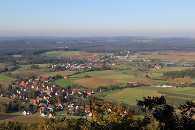
Neunkirchen am Sand, municipality in Landkreis Nürnberger Land in Germany
Location: Nürnberger Land
Elevation above the sea: 331 m
Website: https://neunkirchen-am-sand.de
GPS coordinates: 49.51667,11.31667
Latest update: March 7, 2025 10:51

Rothenberg Fortress
5.2 km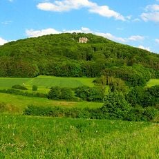
Glatzenstein
5 km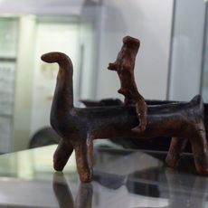
Speikerner Reiterlein
1.8 km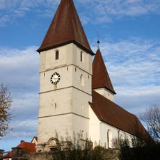
Kath. Pfarrkirche St. Maria in Neunkirchen am Sand
1 km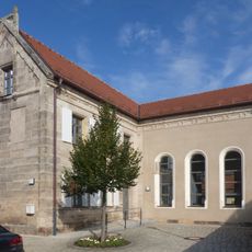
Ehem. Synagoge in Ottensoos
1.9 km
Berggasthof Rothenberg
5.3 km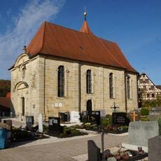
Kath. Pfarrkirche St. Helena in Neunkirchen am Sand
4.2 km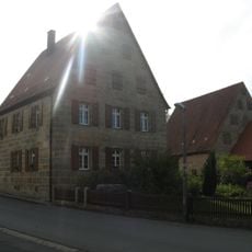
Ehem. Wohnstallhaus in Neunkirchen am Sand
4.3 km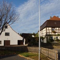
Ehem. Wohnstallhaus in Neunkirchen am Sand
1.1 km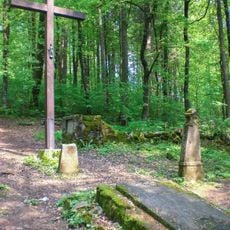
Waldfriedhof Rothenberg (D-5-74-155-60#1)
5.1 km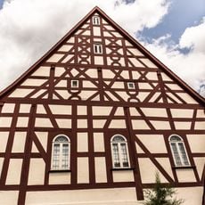
Ehem. Männersynagoge in Schnaittach
4.9 km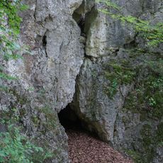
Höhlenstation in Neunkirchen am Sand
5.1 km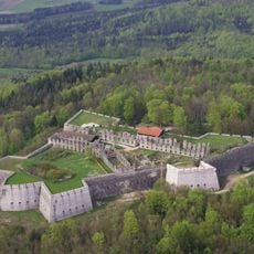
Ruine Rothenberg bei Schnaittach
5.3 km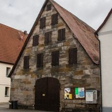
Scheune in Ottensoos
1.9 km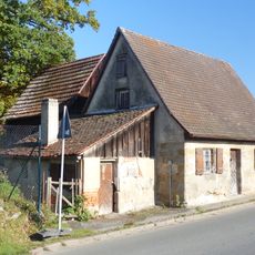
Ehem. Chaussee-Einnehmerhaus in Ottensoos
1.2 km
Friedhof in Schnaittach
4.8 km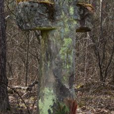
Wegkreuz in Lauf an der Pegnitz
244 m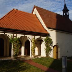
Mittlelalterliche Befunde in Neunkirchen am Sand
1 km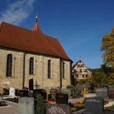
Mittlelalterliche Befunde in Neunkirchen am Sand
4.2 km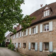
Scheune in Ottensoos
1.9 km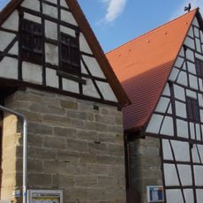
Scheune Dorfstraße 19 (D-5-74-141-18#1)
4.1 km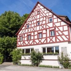
Gasthaus in Neunkirchen am Sand
4.1 km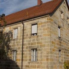
Pfarrhof in Neunkirchen am Sand
4.2 km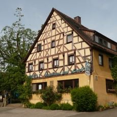
Die Schirmlinde
4.1 km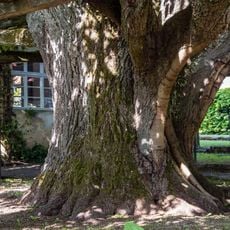
Schirmlinde in Kersbach
4.1 km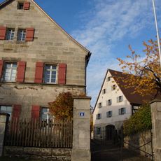
Ehem. Pfarrhof, Pfarrhaus in Neunkirchen am Sand
1 km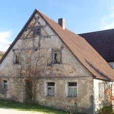
Ehem. Wohnstallhaus in Schnaittach
5.8 km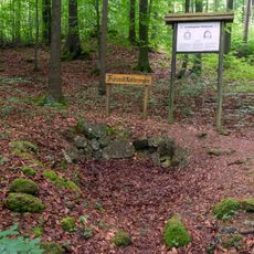
Kalkofen am Glatzenstein
5.3 kmVisited this place? Tap the stars to rate it and share your experience / photos with the community! Try now! You can cancel it anytime.
Discover hidden gems everywhere you go!
From secret cafés to breathtaking viewpoints, skip the crowded tourist spots and find places that match your style. Our app makes it easy with voice search, smart filtering, route optimization, and insider tips from travelers worldwide. Download now for the complete mobile experience.

A unique approach to discovering new places❞
— Le Figaro
All the places worth exploring❞
— France Info
A tailor-made excursion in just a few clicks❞
— 20 Minutes