Glatzenstein, Mountain summit in Nürnberger Land, Germany
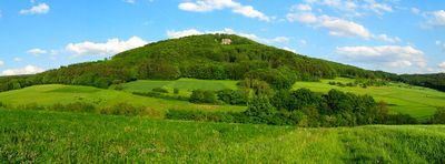
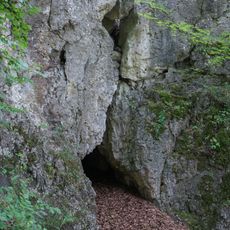
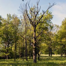
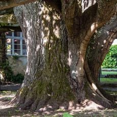
Glatzenstein is a mountain rising to about 572 meters with limestone formations and varied terrain across its slopes. The summit provides views over wooded hills and the surrounding countryside.
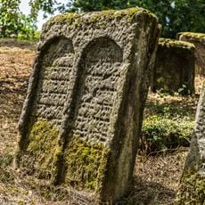
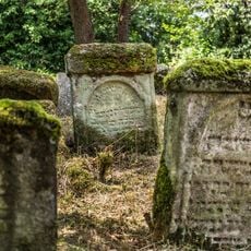
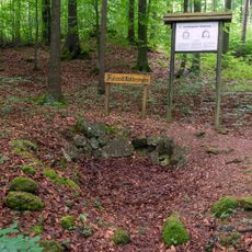
The area shows signs of prehistoric settlement through cave remains and burial mounds discovered in the region. These findings indicate long-standing human presence in the landscape since ancient times.
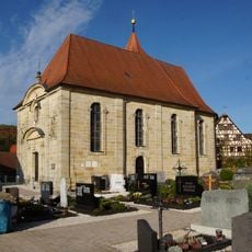
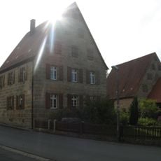
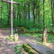
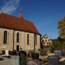
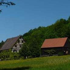
The mountain serves as a focal point for local hiking culture and outdoor gatherings in the region. Communities in the surrounding villages incorporate their connection to this landscape into their identity and seasonal activities.
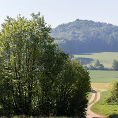
The mountain can be reached via marked trails starting from Neunkirchen am Sand with parking available at the base. The pathways are well-marked and suitable for regular hikers.
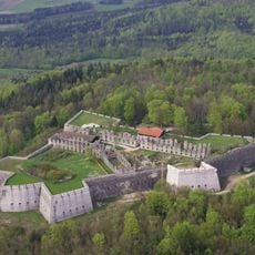
From the summit, the view extends far enough to see Nuremberg city in the distance alongside Rothenberg fortress within the same panorama. This broad vista connects visitors with multiple landmarks in one view.
Location: Nürnberger Land
Elevation above the sea: 572 m
GPS coordinates: 49.54385,11.37252
Latest update: December 13, 2025 11:41
Rothenberg Fortress
1.5 km
Jüdisches Museum Franken
2.7 km
Großer Hansgörgl
2.5 km
Berggasthof Rothenberg
1.8 km
Kath. Pfarrkirche St. Helena in Neunkirchen am Sand
876 m
Ehem. Wohnstallhaus in Neunkirchen am Sand
837 m
Friedhof in Schnaittach
3.1 km
Rathaus in Schnaittach
2.9 km
Ehem. Männersynagoge in Schnaittach
2.7 km
Waldfriedhof Rothenberg (D-5-74-155-60#1)
1.3 km
Teufelsloch
2.5 km
Ruine Rothenberg bei Schnaittach
1.5 km
Jüdisches Museum Franken, Außenstelle Schnaittach
2.8 km
Friedhof in Schnaittach
3.1 km
Höhlenstation in Neunkirchen am Sand
47 m
Friedhof in Schnaittach
2.9 km
Mittlelalterliche Befunde in Schnaittach
2.9 km
Mittlelalterliche Befunde in Neunkirchen am Sand
880 m
Seeanger bei Oberkrumbach
870 m
Ehem. Hopfenbauernhaus in Schnaittach
2.1 km
Gasthaus in Neunkirchen am Sand
1 km
Pfarrhof in Neunkirchen am Sand
908 m
Scheune Dorfstraße 19 (D-5-74-141-18#1)
1 km
Schirmlinde in Kersbach
1.1 km
Die Schirmlinde
1.1 km
Rabbinerhaus Museumsgasse 14; Museumsgasse 16 (D-5-74-155-40#1)
2.8 km
Ehem. Wohnstallhaus in Schnaittach
964 m
Kalkofen am Glatzenstein
248 mVisited this place? Tap the stars to rate it and share your experience / photos with the community! Try now! You can cancel it anytime.
Discover hidden gems everywhere you go!
From secret cafés to breathtaking viewpoints, skip the crowded tourist spots and find places that match your style. Our app makes it easy with voice search, smart filtering, route optimization, and insider tips from travelers worldwide. Download now for the complete mobile experience.
A unique approach to discovering new places❞
— Le Figaro
All the places worth exploring❞
— France Info
A tailor-made excursion in just a few clicks❞
— 20 Minutes