
Bösel, municipality of Germany
Location: Cloppenburg
Elevation above the sea: 13 m
Website: https://boesel.de
GPS coordinates: 53.00583,7.95417
Latest update: March 6, 2025 09:04

Thülsfelder Stausee
9.7 km
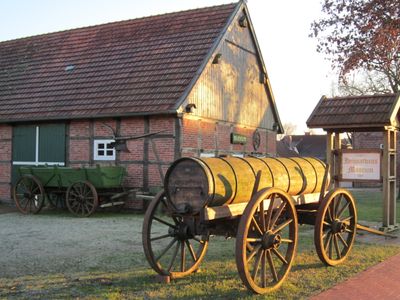
Tier- und Freizeitpark Thüle
5.8 km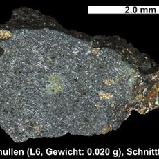
Benthullen Meteorite
10.9 km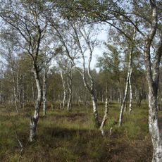
Everstenmoor
17.2 km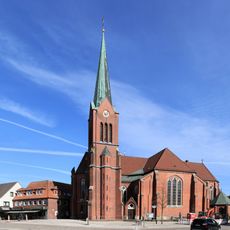
St. Marien
6.6 km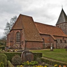
St. Vituskirche
6 km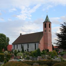
Marienkirche
17.1 km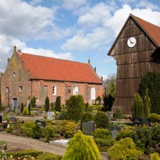
St.-Nikolai-Kirche
13.9 km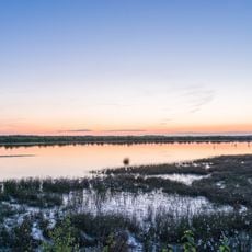
Vehnemoor
7 km
Talsperre Thülsfeld
9.3 km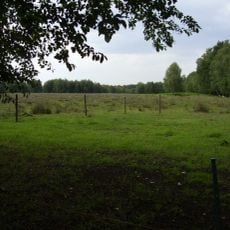
Ahrensdorfer Moor
9.5 km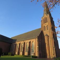
St. Peter und Paul
7.2 km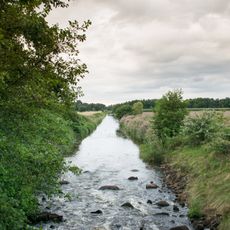
Lethe
11.3 km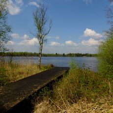
Sager Meere, Kleiner Sand und Heumoor
12.8 km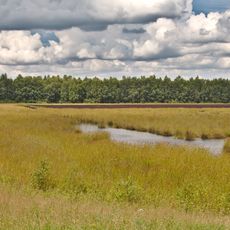
Benthullener Moor
11.8 km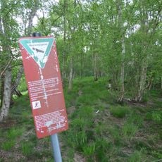
Jeddeloher Moor
10.7 km
Böseler Moor
9.1 km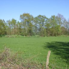
Sandgrube Pirgo
5.8 km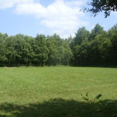
Restmoor Dreesberg
7.9 km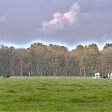
Harberner Heide
12.3 km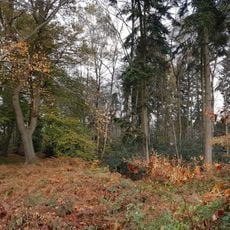
Forst Wildenloh
17.1 km
Friedenskirche
6.9 km
Herz-Jesu-Kirche
9.4 km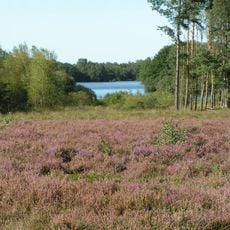
Heiden und Moore an der Talsperre Thülsfeld
10.5 km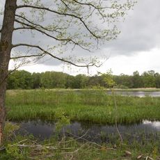
Ahlhorner Fischteiche
14 km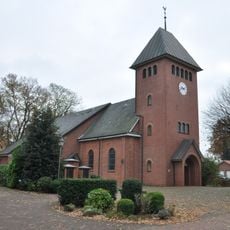
St. Josef
11.7 km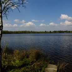
Sager Meer, Ahlhorner Fischteiche und Lethe
14.3 km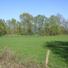
Sandgrube Pirgo
5.8 kmVisited this place? Tap the stars to rate it and share your experience / photos with the community! Try now! You can cancel it anytime.
Discover hidden gems everywhere you go!
From secret cafés to breathtaking viewpoints, skip the crowded tourist spots and find places that match your style. Our app makes it easy with voice search, smart filtering, route optimization, and insider tips from travelers worldwide. Download now for the complete mobile experience.

A unique approach to discovering new places❞
— Le Figaro
All the places worth exploring❞
— France Info
A tailor-made excursion in just a few clicks❞
— 20 Minutes