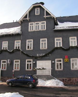
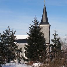
Masserberg, municipality in Thuringia, Germany
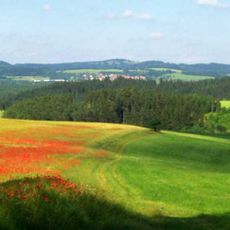
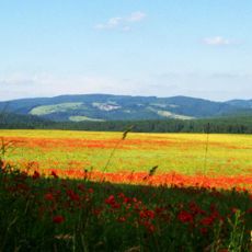
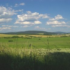
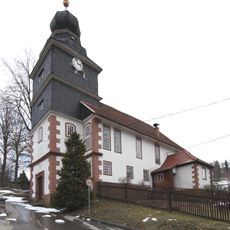
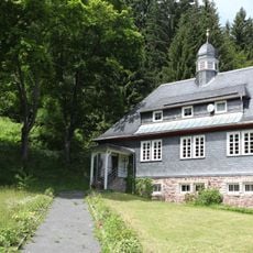
Masserberg is a small health resort in the Thuringian Forest at about 2,560 feet (780 m) elevation, surrounded by dense forests and rolling hills. Traditional houses with flower boxes line quiet streets, and walking trails lead through spruce forests or to overlooks from every direction.
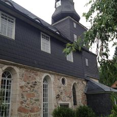
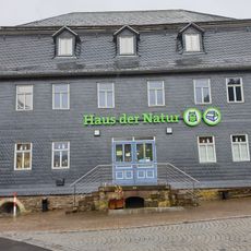
Masserberg developed into a health resort in the 1800s when the healing power of pure mountain air was recognized. This tradition continued and expanded as wellness infrastructure was built, shaping the place's character today.
The name Masserberg may derive from medieval salt trade or stonemasons who worked here. Today, the health resort tradition shapes daily life, as people use the trails for gentle movement and the flower-adorned houses create a calm, maintained feel where visitors sense they belong to a mountain community.
The place is best reached by car or bus since there is no train station; connections run from Saalfeld, Ilmenau, and Coburg. Bring sturdy walking shoes and allow time, as many paths go uphill and the region invites slow exploration.
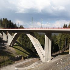
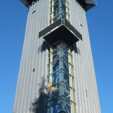
A lookout tower stands on Eselsberg with views over the Schwarzatal valley, where clear days offer sweeping views of the countryside. Nearby, the Werra spring marks where the river begins, with a small hut where visitors can buy refreshments.
The community of curious travelers
AroundUs brings together thousands of curated places, local tips, and hidden gems, enriched daily by 60,000 contributors worldwide.