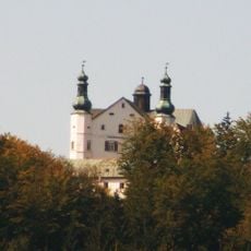
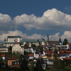
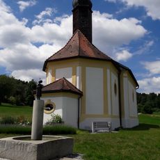
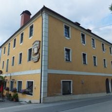
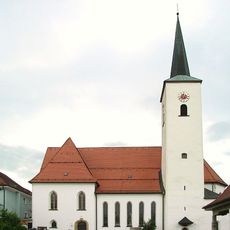
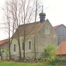
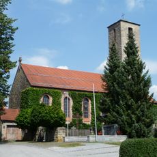
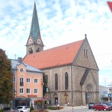
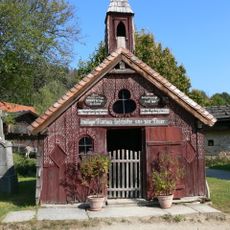
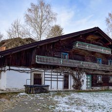
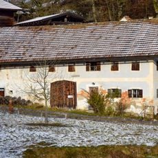
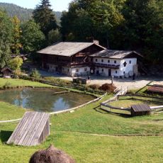
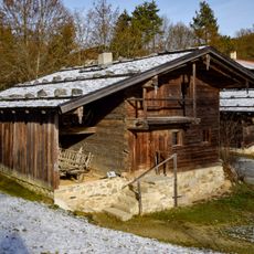
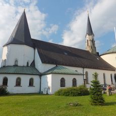
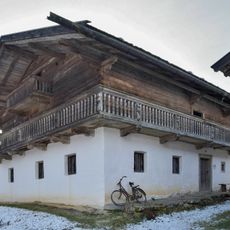
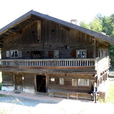
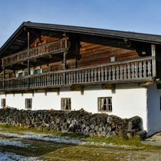
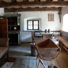
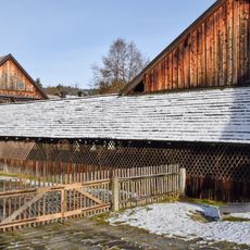
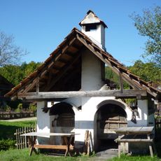
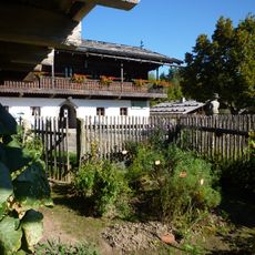
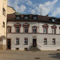
Fürstenstein, municipality of Germany
Location: Passau
Elevation above the sea: 577 m
Shares border with: Eging am See, Aicha vorm Wald, Neukirchen vorm Wald, Tittling, Thurmansbang
Website: http://fuerstenstein.de
GPS coordinates: 48.71944,13.33083
Latest update: March 23, 2025 17:36
Englburg
1.4 km
Schloss Fürstenstein
216 m
KZ-Transport 1945 Memorial
2.8 km
St. Kolomann
4.3 km
Gasthaus Kerber
140 m
Pullman City
5.4 km
St. Ägidius
4.5 km
Katholische Filialkirche St. Laurentius
3.4 km
Nothelferkapelle
2.6 km
Katholische Filialkirche St. Hartmann
4.6 km
St. Vitus
3.7 km
Napoleonkapelle
2.6 km
Langrainergütl
2.7 km
''Holler-Lini-Haus''
2.8 km
Rothaumühlhof
2.8 km
Napoleonhäusl
2.8 km
Ehemaliges Forst- bzw. Kramerhaus
2.7 km
Mariä Himmelfahrt
163 m
''Knabenbauer-Hof''
2.8 km
Ehemaliges Inhaus
2.7 km
Oberer Keller
1.4 km
Schul- und Marktschreiberhaus
2.8 km
Geigerhof
2.7 km
Zaigerhof
2.7 km
Dorfkegelbahn
2.8 km
Doppelbackofen
2.8 km
Einfirsthof aus Neßlbach
2.8 km
Pfarrhaus
195 mReviews
Visited this place? Tap the stars to rate it and share your experience / photos with the community! Try now! You can cancel it anytime.
Discover hidden gems everywhere you go!
From secret cafés to breathtaking viewpoints, skip the crowded tourist spots and find places that match your style. Our app makes it easy with voice search, smart filtering, route optimization, and insider tips from travelers worldwide. Download now for the complete mobile experience.
A unique approach to discovering new places❞
— Le Figaro
All the places worth exploring❞
— France Info
A tailor-made excursion in just a few clicks❞
— 20 Minutes