Malsch, Municipality in Karlsruhe district, Germany.
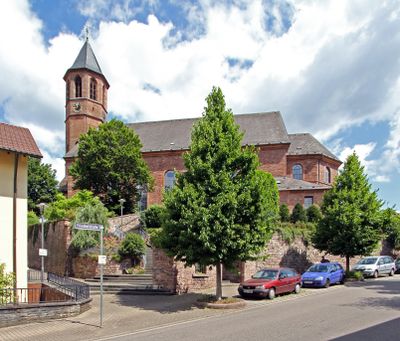
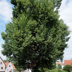
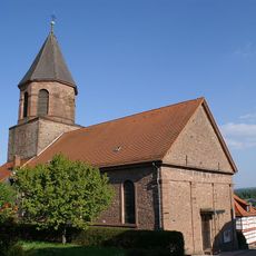
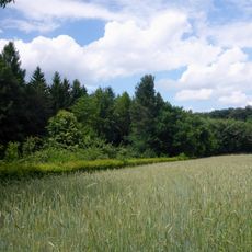
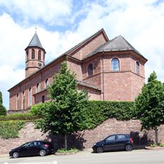
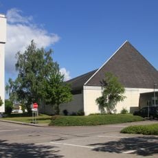
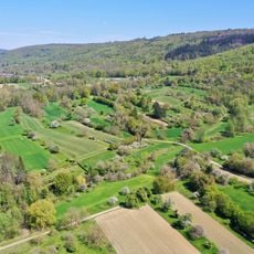
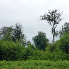
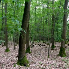
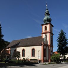
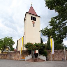
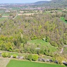
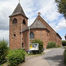
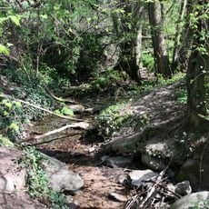
Malsch is a municipality in Baden-Württemberg comprising the villages of Neumalsch, Sulzbach, Völkersbach, and Waldprechtsweier. The town spreads across a landscape shaped by farming and forests in the region between Karlsruhe and the Kraichgau.
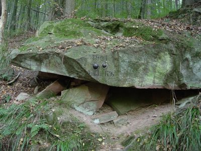
Malsch developed as a municipality in an area with a long farming tradition, formed through the merger of several rural settlements. The present-day structure with its various villages reflects the character of a community shaped by gradual growth.
The municipality maintains international connections through its partnership with the Hungarian city of Zamárdi, fostering exchanges between the two communities.
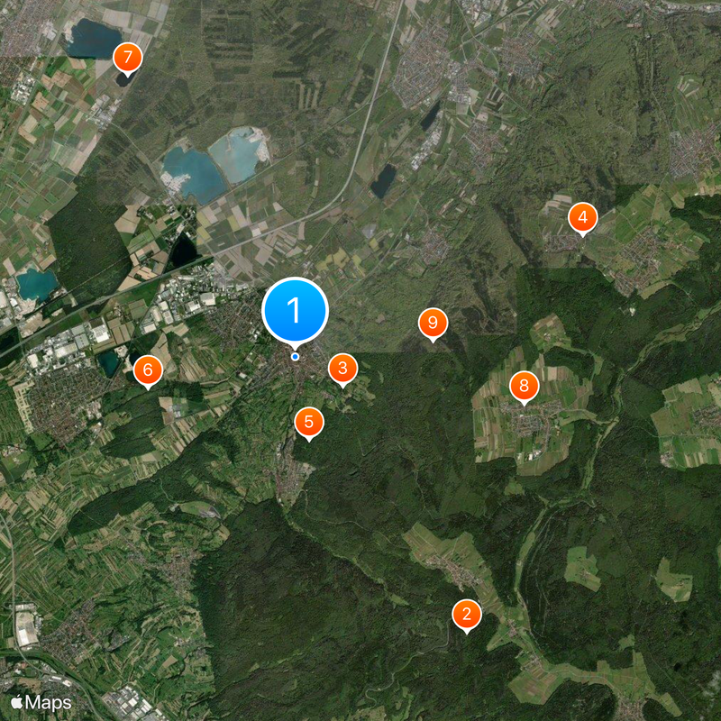
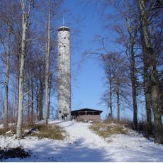
The location is easy to reach with good road connections to nearby cities like Karlsruhe, and basic visitor infrastructure is available throughout the area. Those wanting to explore the region will find it a calm starting point for walks and trips into the surrounding countryside.
The municipality operates at an elevation of 145 meters above sea level, positioned at specific coordinates that place it strategically within the Baden-Württemberg region.
The community of curious travelers
AroundUs brings together thousands of curated places, local tips, and hidden gems, enriched daily by 60,000 contributors worldwide.