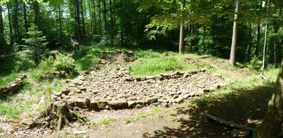
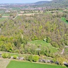
Burg Waldenfels, Medieval castle ruins in Malsch, Germany.
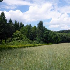
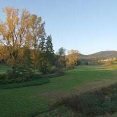
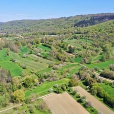
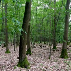
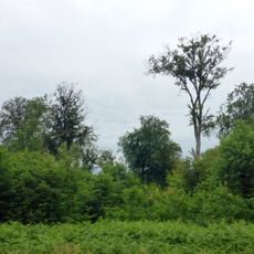
Burg Waldenfels is a castle ruin located on a mountain spur about 205 meters high near Malsch, rising above the surrounding forest. Archaeological work has revealed the remains of its original foundation walls and defensive structures from its time as a tower castle.
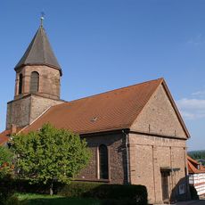
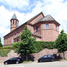
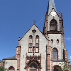
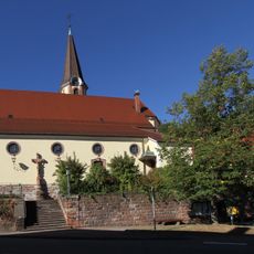
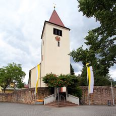
The castle was built around 1086 by Count Reginbodo I after losing his position in Ufgau, serving to encourage settlement and land cultivation in the region. In the 19th century, portions of its walls were dismantled to make room for church expansion in the nearby town.
Local folklore connects the site to the legend of Knight Beringer and his daughter Rosawina, though historical records do not confirm these figures existed. The stories show how the ruins remain alive in regional memory and imagination.
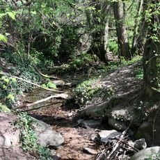
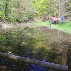
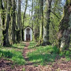
The site is accessible by foot via hiking trails that wind through the forest to the mountain spur, offering views of the surrounding area. Visitors should wear sturdy shoes and allow time to explore the ruins, as there are no buildings or covered structures on site.
The original castle walls measured approximately 12 meters wide on each side and featured foundations over 2 meters thick, evidence of their solid construction. Portions of these massive structures were later dismantled and reused in the construction of a nearby church.
The community of curious travelers
AroundUs brings together thousands of curated places, local tips, and hidden gems, enriched daily by 60,000 contributors worldwide.