Enable Location

We need your location to show you interesting places around you

Discover nearby places

Find interesting locations and hidden gems around you

Precise directions

Get accurate directions and distances to places

Your location is never shared with other users. It's only used when you tap the location button.

Stein

Log in to your account

Start exploring — it's free

Trusted by 62,883 travelers worldwide

Continue with Google
Continue with Apple
or

We will send you a code to connect

By continuing, you accept our Terms and Conditions and our Privacy Policy

Check your inbox

We've sent a pincode in your inbox. Please enter the code below.

Discussion Reviews 2 Photos
28k Popularity

Stein, Urban municipality in Fürth district, Germany

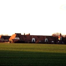
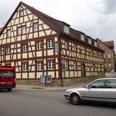
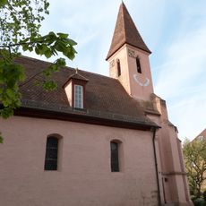
Stein is an urban municipality in the Fürth district of Bavaria and consists of residential neighborhoods connected by streets and pathways to commercial zones. The area sits at about 304 meters elevation and displays the typical pattern of a southern German suburban municipality.

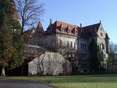
The municipality developed after World War II as an important administrative center in the Fürth district and shaped regional development in Bavaria. Its growth reflects the expansion of suburbs around larger industrial centers.

Municipal gatherings and seasonal festivals in Stein bring together residents throughout the year, reinforcing community bonds and local traditions.

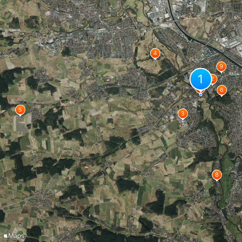
The location has good transportation links to Nuremberg and is therefore convenient for commuters who work in the larger metropolitan region. The infrastructure provides easy access to urban services and facilities in the surrounding area.

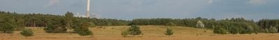
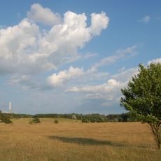
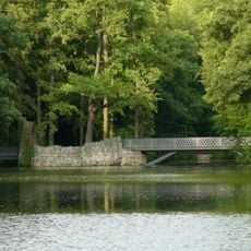
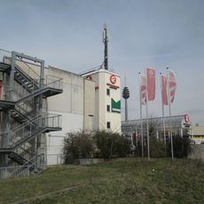
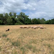
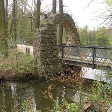
Stein combines elements of urban development with natural landscapes, creating defined spaces for both residential life and outdoor activities.

The community of curious travelers

AroundUs brings together thousands of curated places, local tips, and hidden gems, enriched daily by 60,000 contributors worldwide.

Start exploring
Location
Elevation above the sea
304 m
Shares border with
Oberasbach, Zirndorf
GPS coordinates
49.41418,11.01535
Latest update
December 20, 2025 13:05
« Stein - Urban municipality in Fürth district, Germany » is provided by Around Us (aroundus.com). Images and texts are derived from Wikimedia project under a Creative Commons license. You are allowed to copy, distribute, and modify copies of this page, under the conditions set by the license, as long as this note is clearly visible.

Discover hidden gems everywhere you go!

From secret cafés to breathtaking viewpoints, skip the crowded tourist spots and find places that match your style. Our app makes it easy with voice search, smart filtering, route optimization, and insider tips from travelers worldwide. Download now for the complete mobile experience.

Around Us App Screenshot

A unique approach to discovering new places

Le Figaro

All the places worth exploring

France Info

A tailor-made excursion in just a few clicks

20 Minutes

Around Us
Travel Guide & Maps
Download

Send to your phone

QR Code
1

Open the camera app on your mobile.

2

Point at the QR code with your camera. A notification will appear.

3

Tap the notification to open the link.