
Struvenhütten, municipality of Germany
Location: Segeberg
Elevation above the sea: 21 m
Website: http://amt-kisdorf.de/index.phtml?sNavID=1846.37
GPS coordinates: 53.86778,10.05500
Latest update: March 9, 2025 17:55
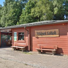
Eekholt Wildlife Park
9.1 km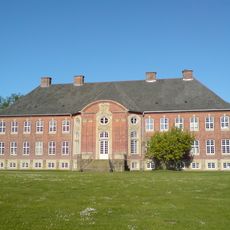
Borstel Manor House
11 km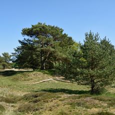
Barker Heide
6.2 km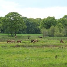
Oberalsterniederung
11.2 km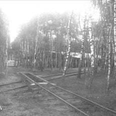
Bad Bramstedter Moorbahn
10 km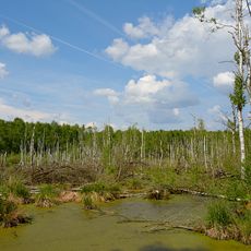
Hasenmoor
7.3 km
Michaeliskirche
6.9 km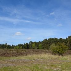
Wittenborner Heide
11.1 km
Halloher Moor, Brandsheide und Könster Moor
10 km
Stellbrookmoor
9 km
Schmalfelder Königsbrücke
5 km
Katenmoor, Schindermoor, Dewsbeekermoor und Schapbrookermoor
9.2 km
Deergraben, Kisdorfer Wohld, Endern
3.9 km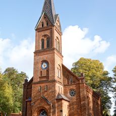
Erlöserkirche
9.2 km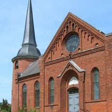
Kirche St. Michaelis
6.9 km
Kapelle / Apostel-Johannes-Kirche
7.2 km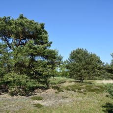
Barker Heide
8.1 km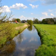
Bad Bramstedt
10.2 km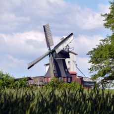
Windmühle
8.5 km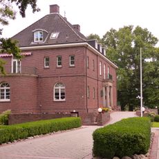
Gutshaus Waldhof
6.2 km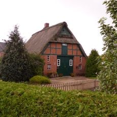
Hauptstraße 9
473 m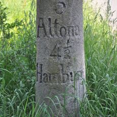
Meilenstein
9.5 km
Barker und Wittenborner Heide
10.2 km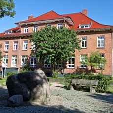
Am Wöddel 32
9.5 km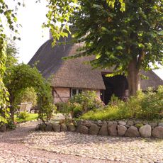
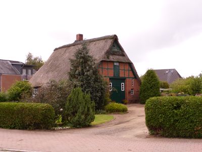
Fachhallenkate
4.6 km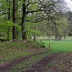
Osterautal
9.8 km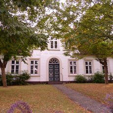
Kieler Straße 1
7.3 km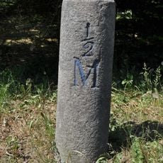
Meilenstein
10.6 kmReviews
Visited this place? Tap the stars to rate it and share your experience / photos with the community! Try now! You can cancel it anytime.
Discover hidden gems everywhere you go!
From secret cafés to breathtaking viewpoints, skip the crowded tourist spots and find places that match your style. Our app makes it easy with voice search, smart filtering, route optimization, and insider tips from travelers worldwide. Download now for the complete mobile experience.

A unique approach to discovering new places❞
— Le Figaro
All the places worth exploring❞
— France Info
A tailor-made excursion in just a few clicks❞
— 20 Minutes