Oberalsterniederung, Protected area in Henstedt-Ulzburg, Germany.
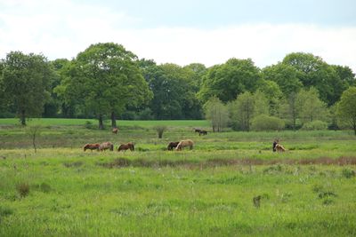
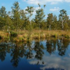
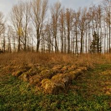
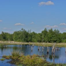
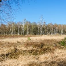
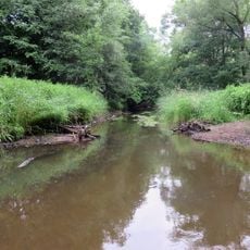
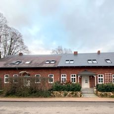
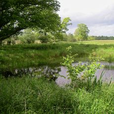
Oberalsterniederung is a protected natural area spanning 907 hectares with meadows, forests, and wetlands along the upper Alster and Rönne rivers in Schleswig-Holstein. The landscape features typical lowland terrain with a mix of open grassland, wooded sections, and water-filled areas that change throughout the seasons.
The lowland formed at the end of the Weichselian glaciation from an extensive glacial lake where water drained eastward along the glacier front. This geological origin continues to influence the wet soils and water patterns visible throughout the area today.
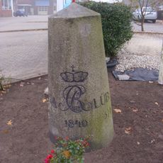
The Alster spring is marked by a decorative bronze cover and stone wall built in 1953 to commemorate where the river begins. Visitors can experience this spot as a meaningful landmark in the landscape where water starts its journey downstream.
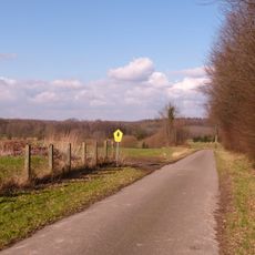
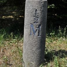
Several paths run throughout the protected area, allowing exploration on foot or by bicycle with information boards at various points along the routes. The area is accessible year-round, though paths can be muddy in spring and after rain, so appropriate footwear is recommended.
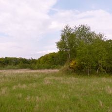
The Schlappenmoor section contains a wet meadow with numerous orchid species that bloom seasonally, making certain months particularly colorful in this corner of the reserve. This area also provides breeding grounds for endangered birds like the Eurasian curlew, whose distinctive call marks the arrival of spring.
The community of curious travelers
AroundUs brings together thousands of curated places, local tips, and hidden gems, enriched daily by 60,000 contributors worldwide.