
Gaißach, municipality of Germany
Location: Bad Tölz-Wolfratshausen
Elevation above the sea: 735 m
Website: http://gaissach.de
GPS coordinates: 47.75000,11.58333
Latest update: March 4, 2025 02:34
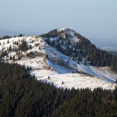
Fockenstein
8.9 km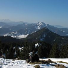
Geierstein
8.3 km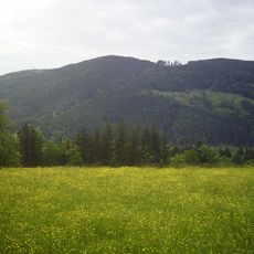
Rechelkopf
4.4 km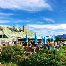
Aueralm
9.6 km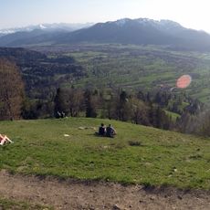
Schürfen Kopf
3.3 km
Lucken Kopf
7.3 km
Keilkopf
6.2 km
Sulzkopf
3.6 km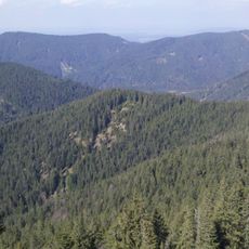
Schweinberg
6.6 km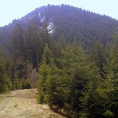
Sattelkopf
9.1 km
Pulpit of St. Michael (Gaißach) - interior
476 m
Gronetseck
6.3 km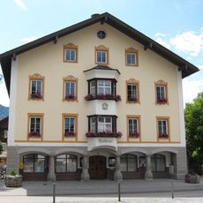
Rathaus Lenggries
7.7 km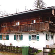
Bauernhaus
7.3 km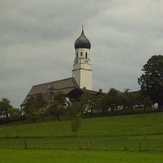
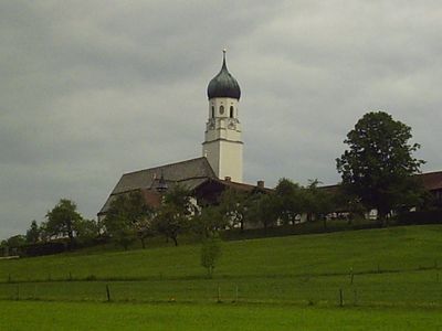
St. Michael
476 m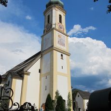
St. Jakobus der Ältere (Lenggries)
7.4 km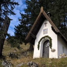
Neuhüttenalm Kapelle
9.3 km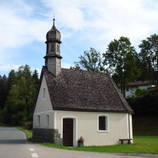
St. Sebastian
6.5 km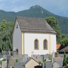
Friedhofskapelle
7.5 km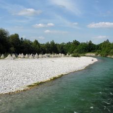
LSG Isarauen
3.2 km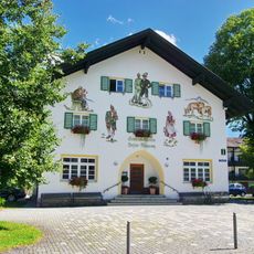
Heimatmuseum Lenggries
7.7 km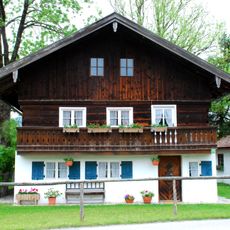
Ehemals Kleinbauernhaus
4.8 km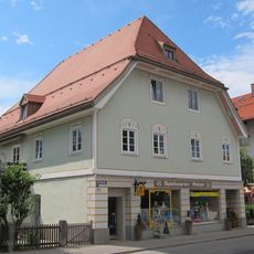
Oberer Kramer
7.7 km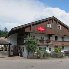
Platscherer
7.4 km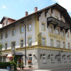
Ehemaliger Gasthof zur Post
7.6 km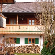
Bauernhaus
7.5 km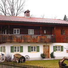
Kleinhaus
7.7 km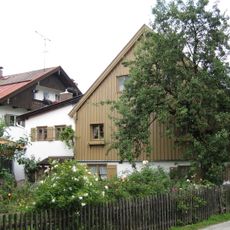
Greilinger-Eigner
7.5 kmVisited this place? Tap the stars to rate it and share your experience / photos with the community! Try now! You can cancel it anytime.
Discover hidden gems everywhere you go!
From secret cafés to breathtaking viewpoints, skip the crowded tourist spots and find places that match your style. Our app makes it easy with voice search, smart filtering, route optimization, and insider tips from travelers worldwide. Download now for the complete mobile experience.

A unique approach to discovering new places❞
— Le Figaro
All the places worth exploring❞
— France Info
A tailor-made excursion in just a few clicks❞
— 20 Minutes