Ostercappeln, municipality of Germany
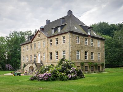
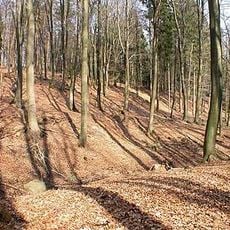
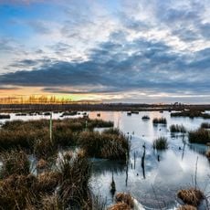
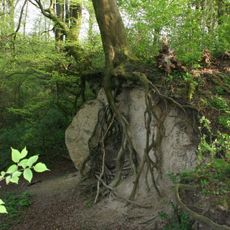
Ostercappeln is a municipality in the Osnabrück area comprised of three villages and characterized by gently rolling hills. The landscape is dotted with farms, small forests, and fields that extend toward the horizon.
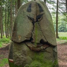
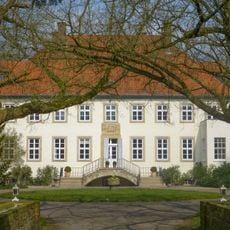
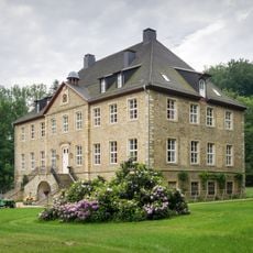
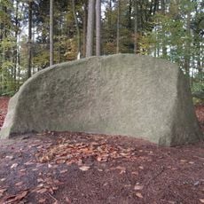
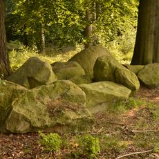
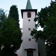
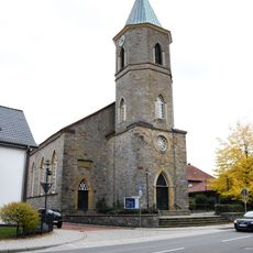
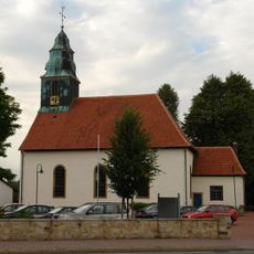
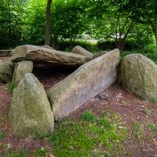
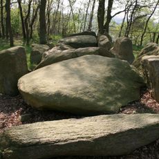
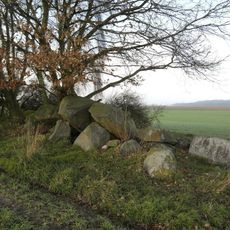
The roots of this municipality reach back to 1074, when it was first mentioned in records. Over the centuries, the area has evolved from a purely agricultural region into a place with a layered history, with old buildings and sites testifying to this long past.
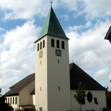
The name Ostercappeln speaks to the early settlement of this area, and the village reflects this long tradition in how residents live today. People here preserve customs and gatherings that bind generations together and shape community life.
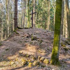
The best ways to get around are hiking, cycling, and walking on the marked trails and paths that connect the villages. The local tourism office provides maps and guides to help you explore the area properly.
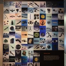
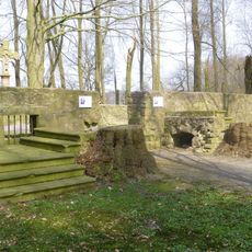
The Iron Age House in Darpverne demonstrates how people lived many centuries ago, with reconstructed dwellings, vegetable gardens, and farm animals. Visitors can literally touch history here and experience what daily life looked like in earlier times.
The community of curious travelers
AroundUs brings together thousands of curated places, local tips, and hidden gems, enriched daily by 60,000 contributors worldwide.