
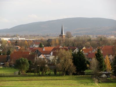
Herrenhof, municipality of Germany
Location: Gotha
Elevation above the sea: 363 m
Shares border with: Leinatal
Website: http://vg-apfelstaedtaue.de
GPS coordinates: 50.84306,10.68694
Latest update: March 27, 2025 02:29
Haus Mühlberg
3.7 km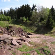
Bromacker
6 km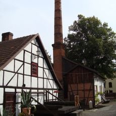
Tobiashammer
5.6 km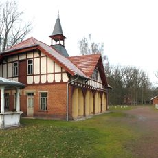
Pferderennbahn Gotha-Boxberg
7.2 km
Kloster Georgenthal
2.5 km
Michaeliskirche
3.7 km
Trinitatiskirche
4 km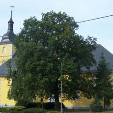
Holy Trinity Church (Gräfenhain)
2.8 km
Alte Gerberei
3.7 km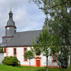
Dreifaltigkeitskirche (Finsterbergen)
7 km
Tannenburg
4.6 km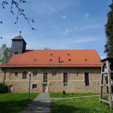
St. Elisabeth (Georgenthal)
2.4 km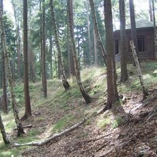
Burgstelle Schlösschen
4.9 km
St. Katharina
5.3 km
Dorfkirche Gospiteroda
5.8 km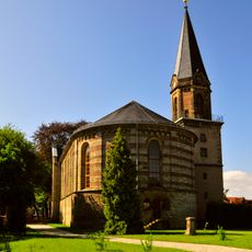
St. Bonifatius
5.7 km
Protestant Church Engelsbach
5.7 km
Heimatmuseum Finsterbergen
7 km
Protestant Church Petriroda
3 km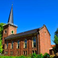
Protestant Church Herrenhof
423 m
St. Trinitatis (Schwabhausen)
6 km
Protestant Church Cumbach
6.6 km
Protestant Church Schönau v.d.W.
3.8 km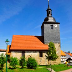
Protestant Church Wipperoda
3.7 km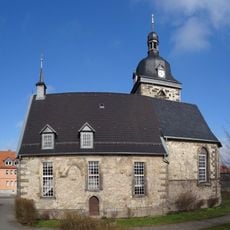
Protestant Church Hohenkirchen
1.2 km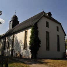
Protestant Church Altenbergen
4.2 km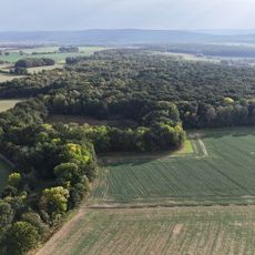
Hirzberg - Wannigsrod - Kranichmoor
2 km
War memorial Emleben
5.7 kmVisited this place? Tap the stars to rate it and share your experience / photos with the community! Try now! You can cancel it anytime.
Discover hidden gems everywhere you go!
From secret cafés to breathtaking viewpoints, skip the crowded tourist spots and find places that match your style. Our app makes it easy with voice search, smart filtering, route optimization, and insider tips from travelers worldwide. Download now for the complete mobile experience.

A unique approach to discovering new places❞
— Le Figaro
All the places worth exploring❞
— France Info
A tailor-made excursion in just a few clicks❞
— 20 Minutes