Süderbrarup, municipality of Germany
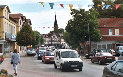
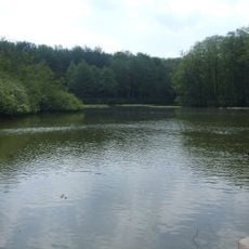
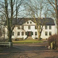
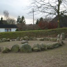
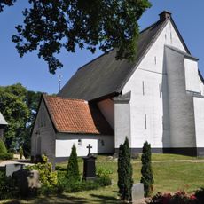
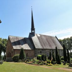
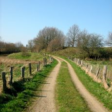
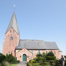
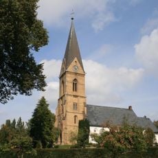
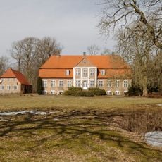
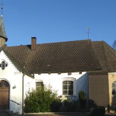
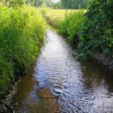
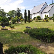
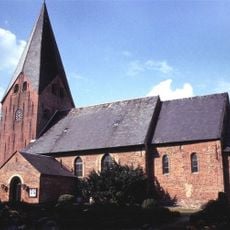
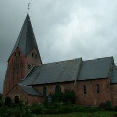
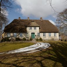
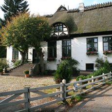
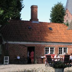
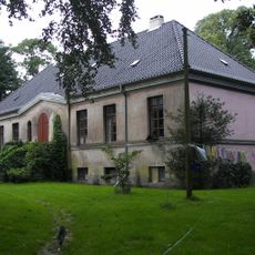
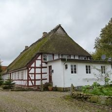
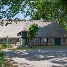
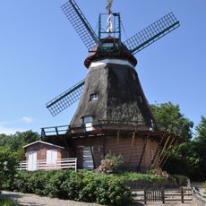
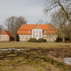
Süderbrarup is a municipality in Schleswig-Holstein in northern Germany, located in the Schleswig-Flensburg district. The area comprises several villages scattered across rolling farmland interspersed with small woods and traditional rural buildings.
The area has been inhabited for thousands of years and was shaped primarily by agriculture. Over time, smaller village communities developed into the present-day structures, reflecting the traditional settlement patterns of this northern German region.
The area is characterized by a quiet agricultural setting best explored on foot or by bicycle. The villages are connected by small roads and offer visitors an authentic view of rural life.
The community of curious travelers
AroundUs brings together thousands of curated places, local tips, and hidden gems, enriched daily by 60,000 contributors worldwide.