
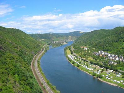
Hatzenport, municipality of Germany
Location: Rhein-Mosel
Elevation above the sea: 85 m
Website: http://hatzenport.de
GPS coordinates: 50.22806,7.42111
Latest update: March 6, 2025 08:44

Eltz Castle
6.5 km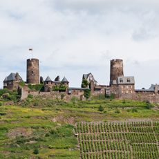
Thurant Castle
3.2 km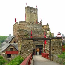
Ehrenburg
3.1 km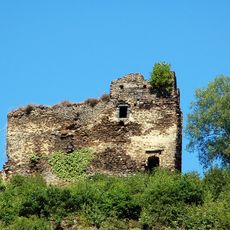
Trutzeltz Castle
6.5 km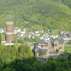
Bischofstein Castle
3.1 km
Stiftskirche Münstermaifeld
4.7 km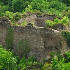
Rauschenburg
6.7 km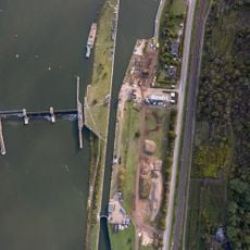
Staustufe Lehmen
5.9 km
Bleidenberg
3.6 km
St. Luzia
1.8 km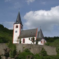
St. Johannes
218 m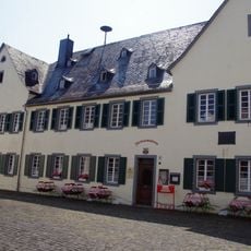
Heimatmuseum Münstermaifeld
4.7 km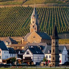
St. Rochus (Church : Hatzenport, Germany)
180 m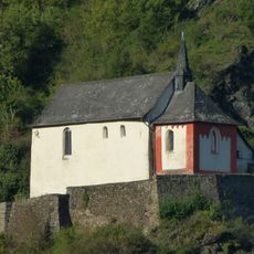
Pauluskapelle
3.2 km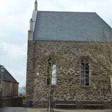
Synagoge Münstermaifeld
4.8 km
Ausoniusstein
3.8 km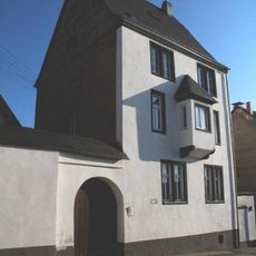
Schönecker Burg
4.7 km
Jüdischer Friedhof Wierschem
5.3 km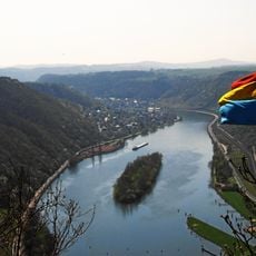
Reiherschussinsel bei Lehmen
5.3 km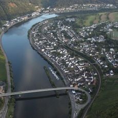
Moselbrücke Löf–Alken
2 km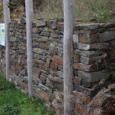
Ringwall Bleidenberg
3.5 km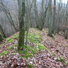
Felsensporn Druidenstein
5.2 km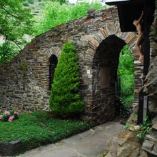
Ortsbefestigung
3 km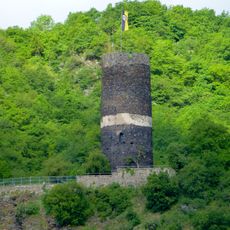
Bergfried
3.1 km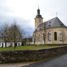
Sint-Pancratiuskerk
5.7 km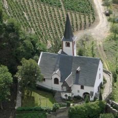
Michaelskapelle
3.1 km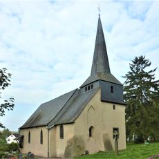
St Apollonia's Church
5 km
Ausoniusstein
3.9 kmVisited this place? Tap the stars to rate it and share your experience / photos with the community! Try now! You can cancel it anytime.
Discover hidden gems everywhere you go!
From secret cafés to breathtaking viewpoints, skip the crowded tourist spots and find places that match your style. Our app makes it easy with voice search, smart filtering, route optimization, and insider tips from travelers worldwide. Download now for the complete mobile experience.

A unique approach to discovering new places❞
— Le Figaro
All the places worth exploring❞
— France Info
A tailor-made excursion in just a few clicks❞
— 20 Minutes