
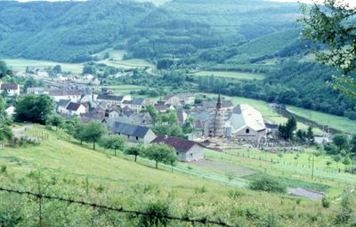
Densborn, municipality of Germany
Location: Vulkaneifel
Elevation above the sea: 320 m
Website: http://densborn-eifel.de
GPS coordinates: 50.12639,6.60278
Latest update: March 8, 2025 17:02
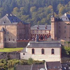
Schloss Malberg
9.1 km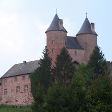
Bertradaburg
2.6 km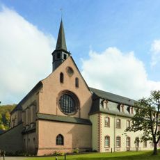
Kloster Sankt Thomas
6.4 km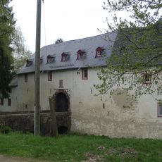
Burg Seinsfeld
7.6 km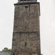
Kyllburg
9.9 km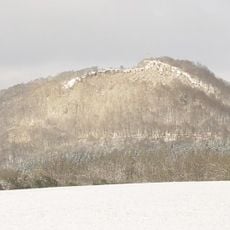
Buer Berg
10.7 km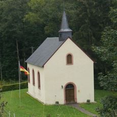
Wallesch-Kapelle im Dürrbachtal
6.3 km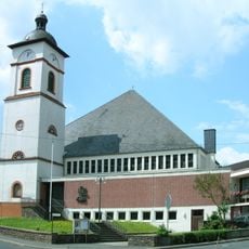
St. Nikolaus
5.7 km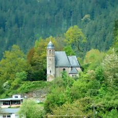
Protestant Church (Kyllburg)
9.4 km
Mariensäule und Kreuzweg
9.3 km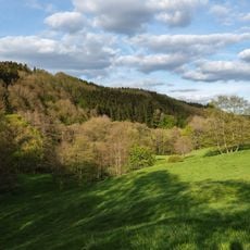
Eishöhlen und Fischbachtal bei Birresborn
5.8 km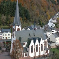
St. Quirinus
9 km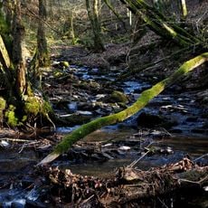
Hundsbachtal
7.9 km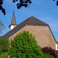
St. Maria Magdalena
51 m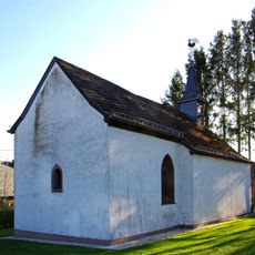
St.-Lambertus-Kapelle
7.7 km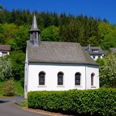
St. Antonius
5.7 km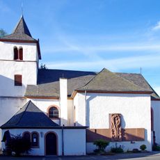
Luziakirche Mürlenbach
2.7 km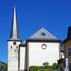
St. Peter
5.2 km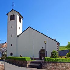
St. Margaretha
6.5 km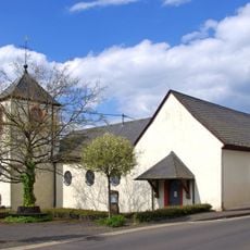
St. Johannes Baptist
9.4 km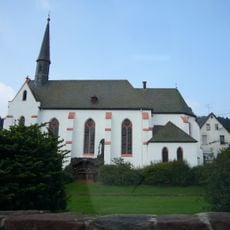
St. Simon und Juda
9.4 km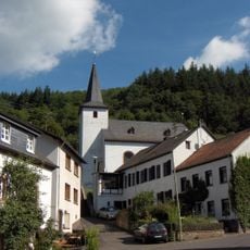
St. Stephan (Michelbach)
8.2 km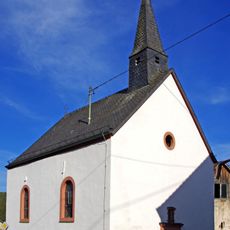
St. Walburga
2.3 km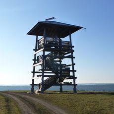
Landesblick
11.3 km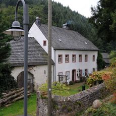
Pfarrhaus
11.4 km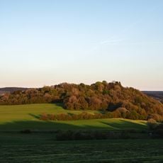
Vulkan Kalem
6.7 km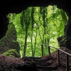
Birresborner Eishöhlen und Vulkan Kalem
6.1 km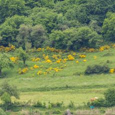
Meerfelder Maar
10.8 kmVisited this place? Tap the stars to rate it and share your experience / photos with the community! Try now! You can cancel it anytime.
Discover hidden gems everywhere you go!
From secret cafés to breathtaking viewpoints, skip the crowded tourist spots and find places that match your style. Our app makes it easy with voice search, smart filtering, route optimization, and insider tips from travelers worldwide. Download now for the complete mobile experience.

A unique approach to discovering new places❞
— Le Figaro
All the places worth exploring❞
— France Info
A tailor-made excursion in just a few clicks❞
— 20 Minutes