Lütjensee, municipality of Germany
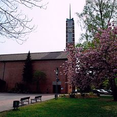
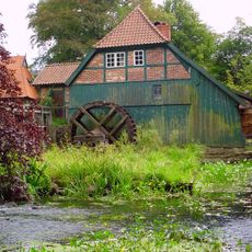
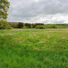
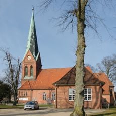
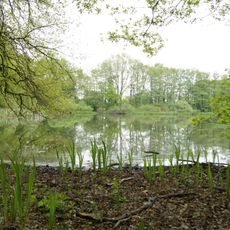
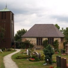
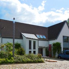
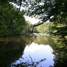
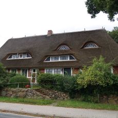
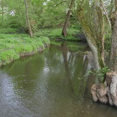
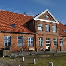
Lütjensee is a small community in the Stormarn district near Trittau, shaped by its location in what is called the Three-Lake Area. The place consists of local homes and small shops set within forests, fields, and three lakes: Lütjensee, Großensee, and Mönchsteich.
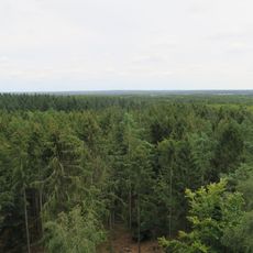
Lütjensee emerged as a quiet settlement within the context of rural development in northern Europe, maintaining its character as farming country across generations. The area has changed little in its structure, preserving its historical roots as a small, nature-shaped community.
The name Lütjensee comes from 'Lüttjen,' a Low German word meaning small, reflecting the modest character of this place. People here and visitors experience it as a location where slowing down and enjoying nature are part of daily life.
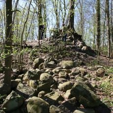
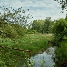
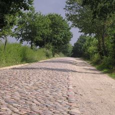
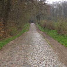
The place is easy to reach by car or bike from nearby towns and offers well-marked paths around the lakes. Several walking routes of different lengths are available, along with local shops and cafes for refreshments and light meals.
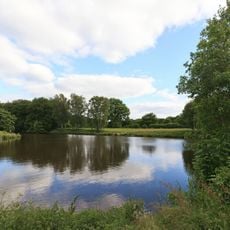
The place is called the 'Three-Lake Community' even though the lake bearing its name is just one of three, showing the modest role this small lake plays in a larger landscape. Visitors often notice that the region is locally known as 'Stormarn Swiss' due to its gentle hills, which are unusual for northern European flatland.
The community of curious travelers
AroundUs brings together thousands of curated places, local tips, and hidden gems, enriched daily by 60,000 contributors worldwide.