Rödental, municipality of Germany
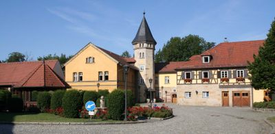
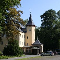
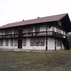
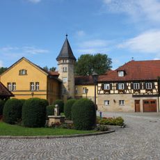
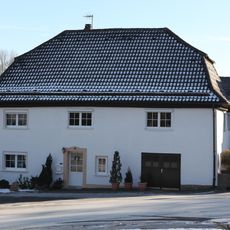
Rödental is a municipality in Germany located near Coburg in Upper Franconia. The town was formed in 1971 when several smaller communities including Mönchröden, Oeslau, and Oberwohlsbach merged together, each neighborhood retaining its own history and character.
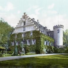
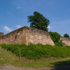
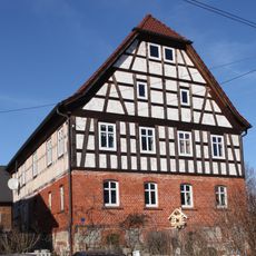
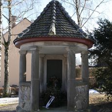
The oldest settlement here, Mönchröden, was founded in 1108 and housed a monastery with preserved Gothic structures. This medieval past shaped the region and its craftsmanship traditions, which continue today.
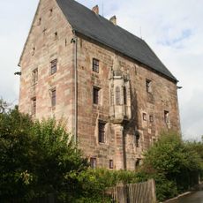
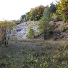
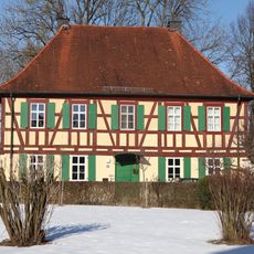
Rödental takes its name from the Röden Valley, reflecting the area's geography. The town still shows its craftsmanship tradition today, particularly in porcelain making, which is visible in the streets and preserved factory buildings.
The town is about 6 kilometers from Coburg and is easy to explore by car or bicycle. There are designated parking areas and overnight facilities for mobile homes, making it convenient for different types of visitors.
The famous W. Goebel porcelain factory in Oeslau had international importance for a long time and produced collectibles that became known worldwide. This industrial past is still felt in the town's streets and buildings.
The community of curious travelers
AroundUs brings together thousands of curated places, local tips, and hidden gems, enriched daily by 60,000 contributors worldwide.