
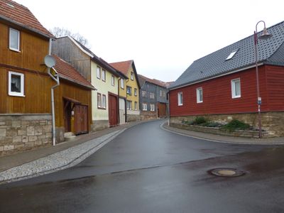
Unstruttal, municipality in Thuringia, Germany
Location: Unstrut-Hainich-Kreis
Elevation above the sea: 229 m
Website: http://gemeinde-unstruttal.de
GPS coordinates: 51.23306,10.44972
Latest update: March 7, 2025 03:56
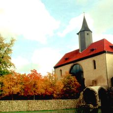
Volkenroda Abbey
8.4 km
Anrode
6.9 km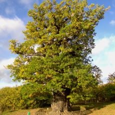
Volkenrodaer Eiche
8.8 km
Christus-Pavillon
8.4 km
St. Gertrud
13.1 km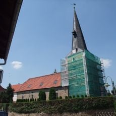
St. Georg (Grabe)
6.1 km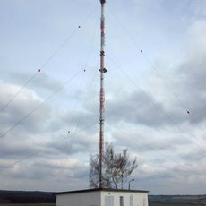
Sender Keula
12.8 km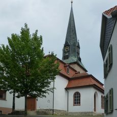
St. Maria im Busch
12.9 km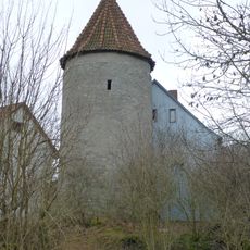
Lengefelder Warte
8.1 km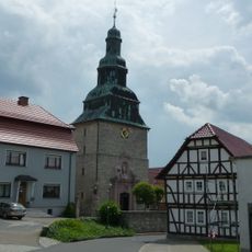
St. Martin (Beberstedt)
9.2 km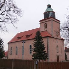
St. Martin (Hüpstedt)
10.5 km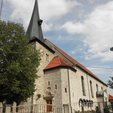
St. Sebastian (Bickenriede)
7.4 km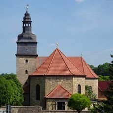
St. Peter and Paul (Helmsdorf)
9.8 km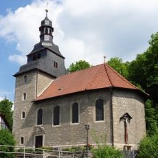
St. Nikolaus (Zella)
8.4 km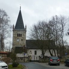
St. Vitus
245 m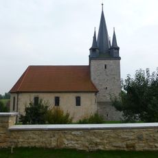
St. Nikolaus
3.5 km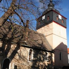
St. Trinitatis (Keula)
12.3 km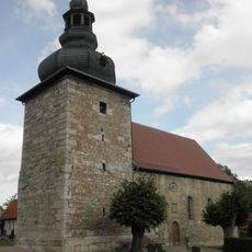
St. Georg
5.9 km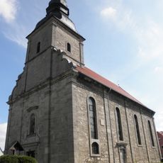
Saints Cosmas and Damian (Silberhausen)
11.5 km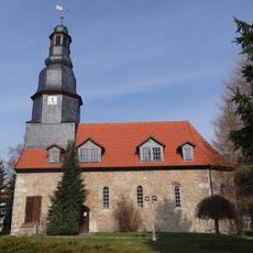
St. Nikolai
6.4 km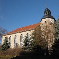
St. Johannis
12.8 km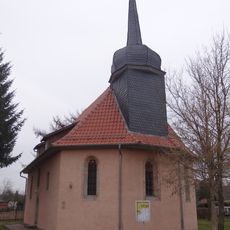
Protestant Church Zaunröden
11.6 km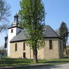
St. Michaelis
10.9 km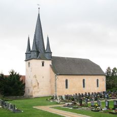
Kirche Horsmar
6 km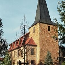
St. Marien (Körner)
9.9 km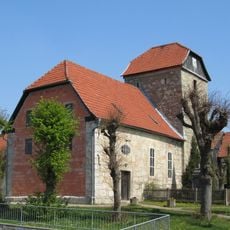
St. Nikolaus
6.2 km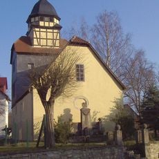
St. Johannes (Reiser)
2.4 km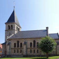
St. Johannes
4.8 kmVisited this place? Tap the stars to rate it and share your experience / photos with the community! Try now! You can cancel it anytime.
Discover hidden gems everywhere you go!
From secret cafés to breathtaking viewpoints, skip the crowded tourist spots and find places that match your style. Our app makes it easy with voice search, smart filtering, route optimization, and insider tips from travelers worldwide. Download now for the complete mobile experience.

A unique approach to discovering new places❞
— Le Figaro
All the places worth exploring❞
— France Info
A tailor-made excursion in just a few clicks❞
— 20 Minutes