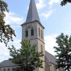
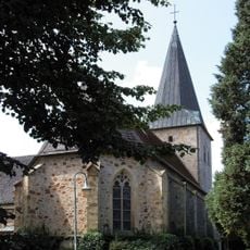
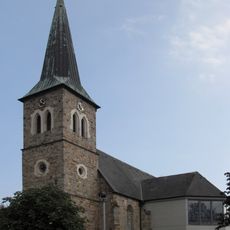
Emsbüren, municipality of Germany
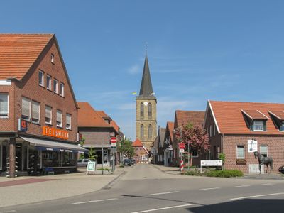
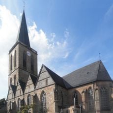
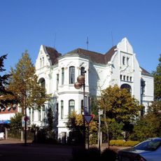
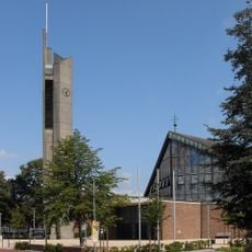
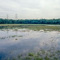
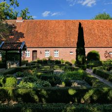
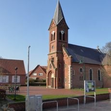
Emsbüren is a small municipality in the Emsland region of Lower Saxony that stretches along the Ems river and is home to about 10,700 people. The area is flat and defined by open fields, narrow tree-lined streets, and scattered farmhouses that shape the character of the place.
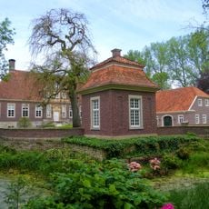
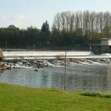
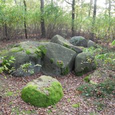
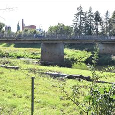
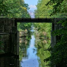
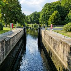
Emsbüren developed over many centuries as a farming village and has maintained its rural identity throughout the ages. The river Ems has always played a central role in the settlement, shaping how the community grew and organized itself around this waterway.
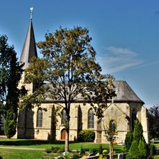
The town takes its name from its location along the Ems river, and this connection remains central to how locals see their community. Residents gather for seasonal celebrations and markets where neighbors meet and maintain traditions together, reflecting a way of life centered on community bonds.
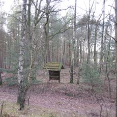
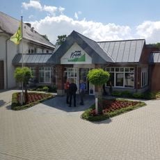
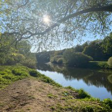
You can reach Emsbüren easily by train at the Leschede station, and the town center is simple to explore on foot or by bicycle. The flat landscape and narrow streets make walking and cycling pleasant, especially if you want to explore the fields and get closer to the river.
Emsbüren has produced notable personalities like racing driver Willi Heeks and show jumper René Tebbel, showing that this quiet village has a sporting history that many visitors do not expect. These successful athletes come from a place better known for farming and rural life.
The community of curious travelers
AroundUs brings together thousands of curated places, local tips, and hidden gems, enriched daily by 60,000 contributors worldwide.