
Tielen, municipality of Germany
Location: Schleswig-Flensburg
Elevation above the sea: 6 m
Website: http://tielen.city-map.de
GPS coordinates: 54.28694,9.33472
Latest update: March 17, 2025 02:36
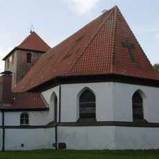
Dorfkirche Bergenhusen
9.8 km
Schalkholz Passage Grave
6.5 km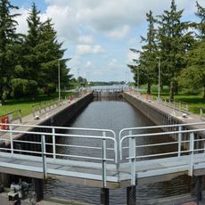
Lexfähre lock
9.8 km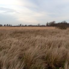
Alte Sorge-Schleife
7.2 km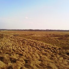
Dellstedter Birkwildmoor
3.9 km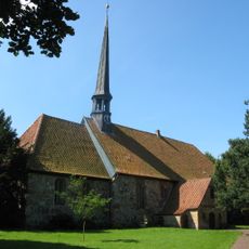
St. Martin
8.5 km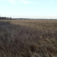
Tetenhusener Moor
10.4 km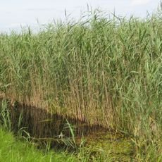
Delver Koog
7.7 km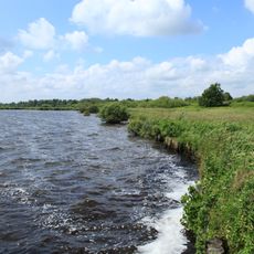
Moore der Eider-Treene-Sorge-Niederung
3.4 km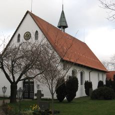
St.-Marien-Magdalenen-Kirche
2.6 km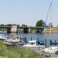
Pahlen bascule bridge
2.7 km
Kleiner Geestrücken südlich Dörpling
5.4 km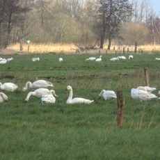
Gräben der nördlichen Alten Sorge
10.9 km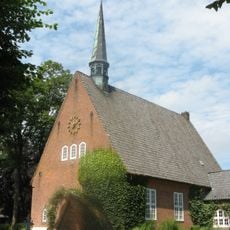
Dankeskirche
3.7 km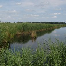
Delver Koog
7.7 km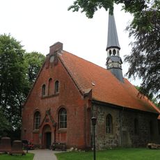
St. Marien-Kirche Delve
5.6 km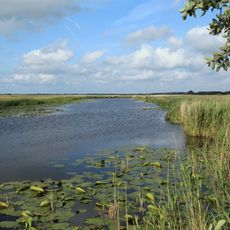
Hohner See
8.7 km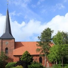
Marienkirche
11.4 km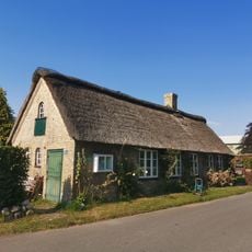
Ehemalige Dorfschule
4.3 km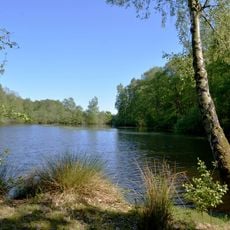
Großes Moor/Kätner Moor
5.5 km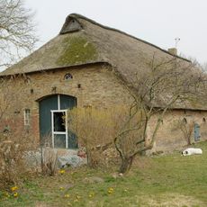
Kleine Straße 16, Fachhallenhaus
10.3 km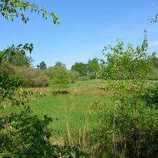
Südermoor bei Schwienhusen
5.9 km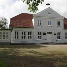
Ehem. Gutshaus (Schule)
7.2 km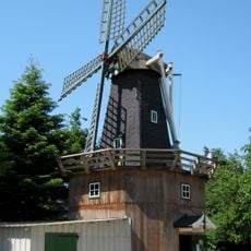
Windmühle (Bauernmühle)
6.2 km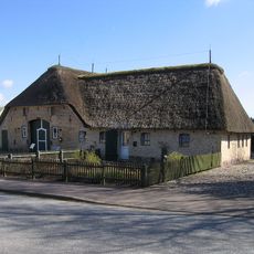
Schulstraße 1, Bauernhaus
10.1 km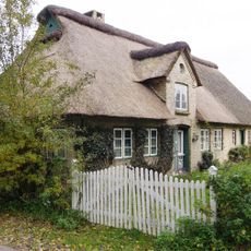
Ehem. Müllerwohnhaus
7.4 km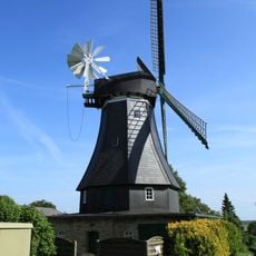
Windmühle Margaretha
9.5 km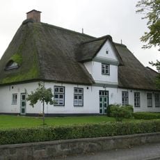
Dörpstroot 11, Pastorat
10 kmVisited this place? Tap the stars to rate it and share your experience / photos with the community! Try now! You can cancel it anytime.
Discover hidden gems everywhere you go!
From secret cafés to breathtaking viewpoints, skip the crowded tourist spots and find places that match your style. Our app makes it easy with voice search, smart filtering, route optimization, and insider tips from travelers worldwide. Download now for the complete mobile experience.

A unique approach to discovering new places❞
— Le Figaro
All the places worth exploring❞
— France Info
A tailor-made excursion in just a few clicks❞
— 20 Minutes