
Obergröningen, municipality in Germany
Location: Ostalbkreis
Location: Leintal-Frickenhofer Höhe GVV
Elevation above the sea: 500 m
Website: https://obergroeningen.de
GPS coordinates: 48.89444,9.90917
Latest update: March 4, 2025 22:16
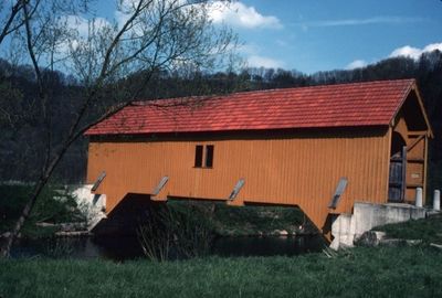

Altenberg Tower
7.6 km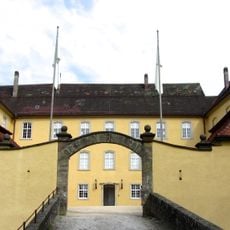
Schloss Untergröningen
2.8 km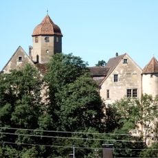
Schloss Laubach
5.2 km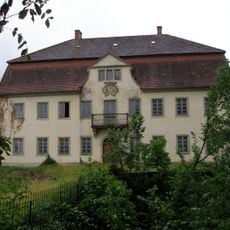
Schloss Horn
4.8 km
Schmiedelfeld Castle
8.9 km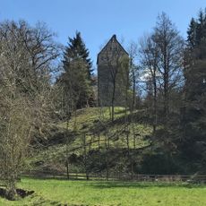
Turmhügelburg Leinroden
6.5 km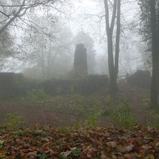
Burg Kranzberg
7.6 km
Bärenwirtshalde - Steinklinge
8.4 km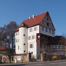
Schloss Leinzell
5.5 km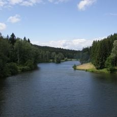
Rehnenmühlesee
8.1 km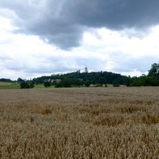
Altenberg
7.6 km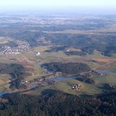
Hammerschmiedesee
7.6 km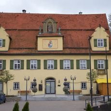
Schloss Schechingen
2.4 km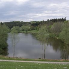
Hochwasserrückhaltebecken Götzenbach
4.5 km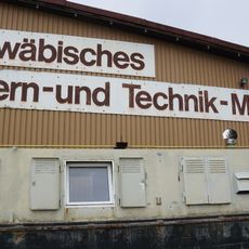
Technikmuseum Kiemele
5.3 km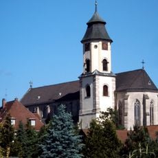
St. Michael
6.8 km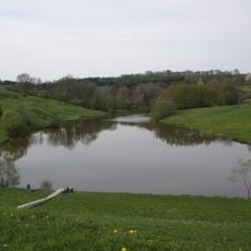
Hochwasserrückhaltebecken Federbach
4.7 km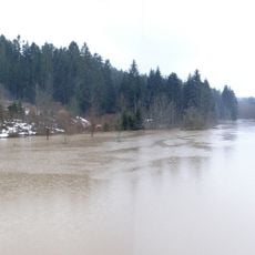
Hochwasserrückhaltebecken Täferrot
8.2 km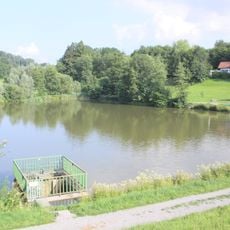
Hochwasserrückhaltebecken Laubbach
7.5 km
Bräunlesrain
945 m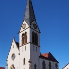
Johanniskirche
4.1 km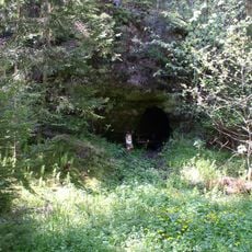
Götzenloch
4.6 km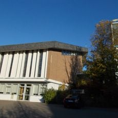
St. Josef in Böbingen an der Rems
8.1 km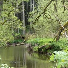
Unteres Leintal mit Nebentälern
5.5 km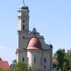
Schlosskirche Hohenstadt
2.2 km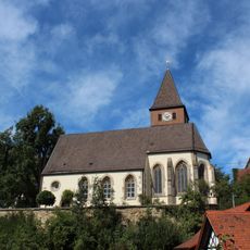
1 Esche an der Kirche
2.9 km
Berrothbrunnen
6 km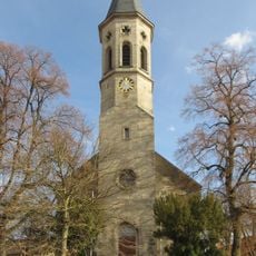
2 Linden bei der Kirche
7.4 kmReviews
Visited this place? Tap the stars to rate it and share your experience / photos with the community! Try now! You can cancel it anytime.
Discover hidden gems everywhere you go!
From secret cafés to breathtaking viewpoints, skip the crowded tourist spots and find places that match your style. Our app makes it easy with voice search, smart filtering, route optimization, and insider tips from travelers worldwide. Download now for the complete mobile experience.

A unique approach to discovering new places❞
— Le Figaro
All the places worth exploring❞
— France Info
A tailor-made excursion in just a few clicks❞
— 20 Minutes