Lorch, Medieval monastery town in Ostalbkreis, Germany
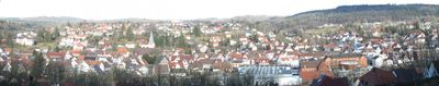
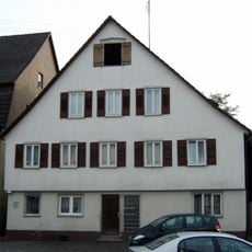
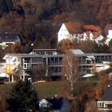
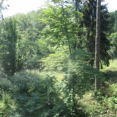
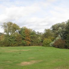
Lorch is a town in the Ostalbkreis region of Baden-Württemberg with a hillside setting featuring medieval buildings and structures. The layout reflects its role as a former monastery center, with the church and nearby structures forming the historic core.
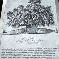
The town grew around a Benedictine monastery founded in 1102, which served as a major religious institution through the medieval period. The settlement maintained its church-centered importance for centuries after the monastery's original role evolved.
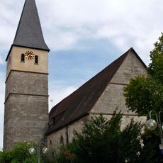
The Protestant church at the town center reflects centuries of religious transformation in the region. You can still see how this spiritual heritage shapes the way locals relate to their community today.
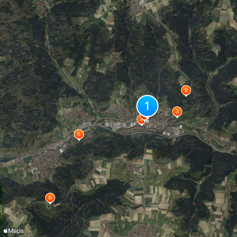
The town sits on the Rems Railway line, offering regular train connections to surrounding areas in the region. The main historic sites are compact and walkable, making it easy to explore the core areas on foot.
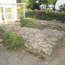
The remains of the Roman frontier wall, the Limes, run beneath and through the town area and hold UNESCO World Heritage status. This ancient boundary line marks where Roman military power ended nearly two thousand years ago.
Location: Ostalbkreis
Elevation above the sea: 288 m
Website: http://stadt-lorch.de
GPS coordinates: 48.79824,9.68987
Latest update: December 14, 2025 02:40
Castra of Lorch
98 m
Barbarossa-Linde
1.1 km
Schillerhaus (Lorch)
247 m
Hochwasserrückhaltebecken Lorch-Waldhausen
2.6 km
Reinhold-Maier-Tower
4.7 km
Evangelische Stadtkirche Lorch
98 mKollegiatstift Lorch
100 m
9 Wellingtonien
1.7 km
Limeswachturm Wp 12/14
1.2 km
Forchengruppe und Alte Göppinger Straße
592 m
Lorcher Baggerseen
1.8 km
Aimersbachtal
1.7 km
Hauptschule Auf dem Schäfersfeld
571 m
Alte Sandgrube mit Tümpel, Plüderhausen
4.7 km
Götzenbachtal
1.5 km
Eberhardt-Ludwig-Stein
2 km
Feuchtgebiet im Schweizerbachtal
2.6 km
Bachverlauf des Walkersbachs im Gewann Bankert
2 km
1 Eiche beim Signal Pferchgarten
1.3 km
Silberweide im Gewann Gairen, Lorch, Württemberg
1.3 km
Sporthalle Auf dem Schäfersfeld
741 m1 Zuckerahorn im Wetzkämmerle
446 mHeuberg
5.6 km
Baggersee bei der Waldhäuser Mühle
2.7 km
Auwaldgebiet links der Rems
1.7 km
Auefläche an der Rems
2.7 km
Lindenbach-Weiher
3.2 kmHohler Stein
3.7 kmVisited this place? Tap the stars to rate it and share your experience / photos with the community! Try now! You can cancel it anytime.
Discover hidden gems everywhere you go!
From secret cafés to breathtaking viewpoints, skip the crowded tourist spots and find places that match your style. Our app makes it easy with voice search, smart filtering, route optimization, and insider tips from travelers worldwide. Download now for the complete mobile experience.
A unique approach to discovering new places❞
— Le Figaro
All the places worth exploring❞
— France Info
A tailor-made excursion in just a few clicks❞
— 20 Minutes