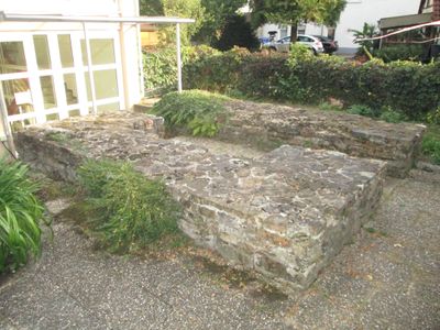
Castra of Lorch, Roman military fort in Lorch, Germany.
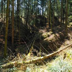
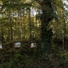
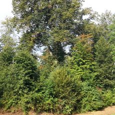
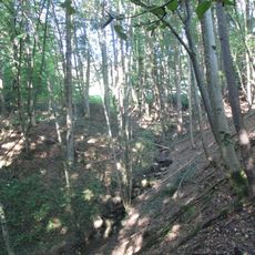
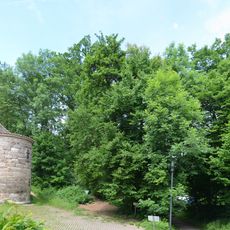
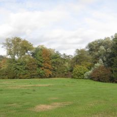
The Castra of Lorch is a Roman military fortress in southwestern Germany whose foundation walls remain clearly visible today. The site spans multiple areas with remains of barracks, storage buildings, and defensive earthworks that demonstrate its role as a strategic outpost.
The fort was founded in the first century CE to protect the Roman frontier against Germanic peoples for several generations. It was part of the larger defense line Rome established along this region and was eventually abandoned as political conditions shifted.
The site shows how Roman soldiers lived and worked here, with traces of their daily routines visible in the foundations. The remains give a sense of how coexistence between Roman occupiers and local people functioned on this frontier.
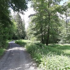
The site is accessible and can be visited in any season, with foundation walls remaining clearly visible. Sturdy footwear is helpful since the ground can be uneven and some areas are exposed.
Roman coins and tools are found here alongside Germanic objects, revealing how closely the two cultures existed side by side. These material traces tell a story of trade and occasional exchange despite the border tensions.
Location: Lorch
Location: Germania Superior
Elevation above the sea: 289 m
Part of: borders of the Roman Empire, Upper German-Raetian Limes
GPS coordinates: 48.79810,9.68855
Latest update: December 9, 2025 20:21
Kloster Lorch
1.1 km
Barbarossa-Linde
1.2 km
Schillerhaus (Lorch)
164 m
Hochwasserrückhaltebecken Lorch-Waldhausen
2.5 km
Evangelische Stadtkirche Lorch
41 m
9 Wellingtonien
1.8 km
Limeswachturm Wp 12/14
1.3 km
Forchengruppe und Alte Göppinger Straße
548 m
Lorcher Baggerseen
1.7 km
Aimersbachtal
1.7 km
Hauptschule Auf dem Schäfersfeld
664 m
Götzenbachtal
1.5 km
Silberweide im Gewann Gairen, Lorch, Württemberg
1.2 km
1 Eiche beim Signal Pferchgarten
1.4 km
Sporthalle Auf dem Schäfersfeld
837 m
Bachverlauf des Walkersbachs im Gewann Bankert
1.9 km
Eberhardt-Ludwig-Stein
2 km
ND Eichenrain auf der Vorderen Halde, Lorch
1.7 km
1 Eiche am Eberrainweg
1.1 km
1 Hoflinde beim Ziegelhof
1.4 km
1 Linde im Staffelgehren
2 km
Ehemaliger Steinbruch nördl.Hollenhof
1 km
Eichenwäldchen beim Römerturm
1.1 km
Baumbestand am Klostereingang
1.2 km
Eichengruppe auf dem Klosterberg
1.2 km
Auwaldgebiet links der Rems
1.8 km
Vogelschutzgehölz Tobel
1.3 km
Progymnasium Auf dem Schäfersfeld
732 mVisited this place? Tap the stars to rate it and share your experience / photos with the community! Try now! You can cancel it anytime.
Discover hidden gems everywhere you go!
From secret cafés to breathtaking viewpoints, skip the crowded tourist spots and find places that match your style. Our app makes it easy with voice search, smart filtering, route optimization, and insider tips from travelers worldwide. Download now for the complete mobile experience.
A unique approach to discovering new places❞
— Le Figaro
All the places worth exploring❞
— France Info
A tailor-made excursion in just a few clicks❞
— 20 Minutes