
Colnrade, municipality of Germany
Location: Harpstedt
Location: Oldenburg
Elevation above the sea: 32 m
Shares border with: Winkelsett, Wildeshausen
Website: http://colnrade.de
GPS coordinates: 52.82327,8.47739
Latest update: March 28, 2025 19:00
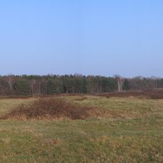
Pestrup grave field
6 km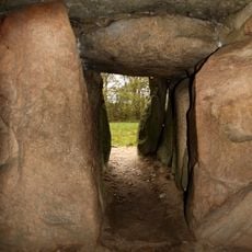
Kleinenknetener Steine
5.2 km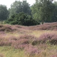
Pestruper Gräberfeld und Rosengarten
6 km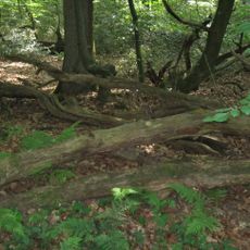
Herrenholz
7.4 km
Museum der Strohverarbeitung
11 km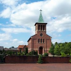
Martin-Luther-Kirche
5.4 km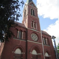
St. Gorgonius (Goldenstedt)
5.3 km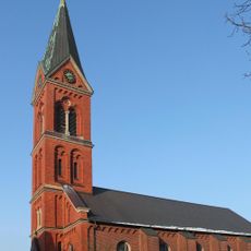
St. Peter (Wildeshausen)
8.5 km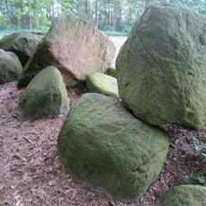
Großsteingräber bei Reckum
5.1 km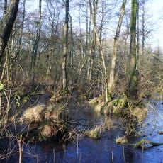
Pestruper Moor
6 km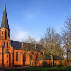
St. Antonius
6.6 km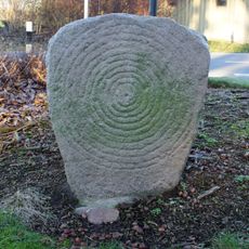
Sonnenstein von Beckstedt
2 km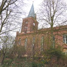
St. Marien
132 m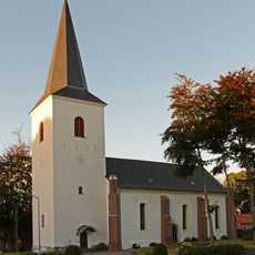
Kirche Heiligenloh
7.6 km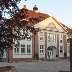
Schule Am Markt
6.1 km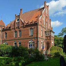
Wohnhaus Grabhorststraße 32
9.1 km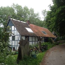
Wildeshauser Lohmühle
3.1 km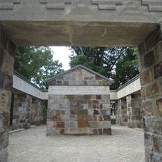
Wildeshausen war memorial
8.4 km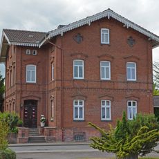
Wohnhaus Wildeshäuser Straße 1
10.8 km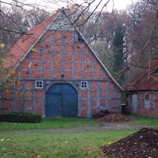
Wohn- und Wirtschaftsgebäude Lerchenhausen 4
6.2 km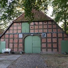
Wohn-/Wirtschaftsgebäude Heiligenloh
7.3 km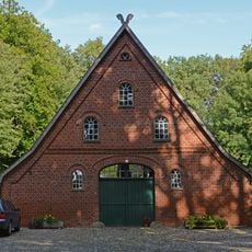
Speicher Lerchenhausen 1
6.1 km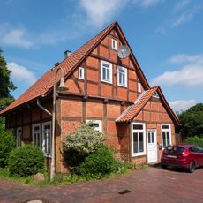
Wohnhaus Kirchstraße 3
112 m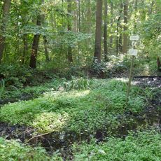
Tal des Goldenstedter Mühlenbaches
6 km
Herrenholz
7.4 km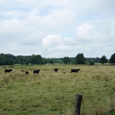
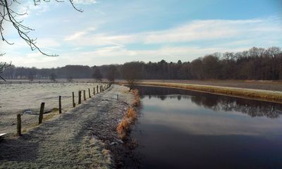
Huntetal (Landkreis Oldenburg)
2.2 km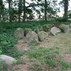
Kleinenkneter Steine
5.2 km
Pestruper Gräberfeld
6.2 kmVisited this place? Tap the stars to rate it and share your experience / photos with the community! Try now! You can cancel it anytime.
Discover hidden gems everywhere you go!
From secret cafés to breathtaking viewpoints, skip the crowded tourist spots and find places that match your style. Our app makes it easy with voice search, smart filtering, route optimization, and insider tips from travelers worldwide. Download now for the complete mobile experience.

A unique approach to discovering new places❞
— Le Figaro
All the places worth exploring❞
— France Info
A tailor-made excursion in just a few clicks❞
— 20 Minutes