Biebertal, Municipal administration center in Hesse, Germany
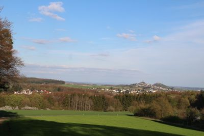
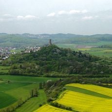
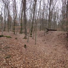
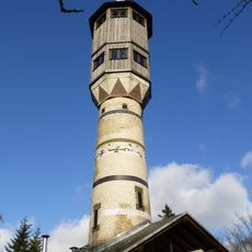
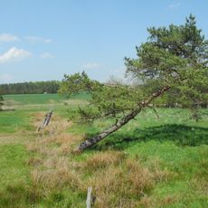
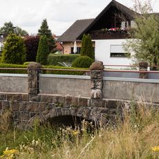
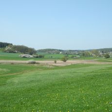
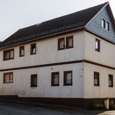
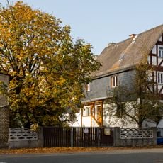
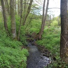
Biebertal is a municipality in central Hesse that spreads across several valleys with a mix of residential areas, forests, and farmland. Small villages sit scattered throughout this landscape, connected by roads that wind through the gentle terrain.
The present municipality was formed in 1974 when several independent villages merged to create a unified administrative unit. This consolidation was part of a broader administrative reform in Hesse aimed at modernizing local government structures.
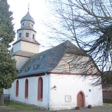
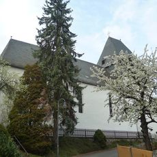
The community here is shaped by residents who participate in local clubs and traditional celebrations that happen throughout the year. Neighbors gather regularly for events that bring the six former villages together.
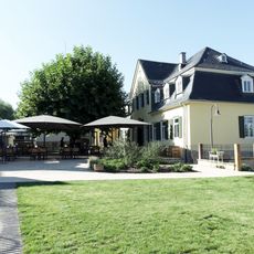
The municipality is accessible by car and has several small centers where shops and services are located throughout the area. Visitors should know that this is a rural area where amenities are spread out across different villages rather than concentrated in one place.
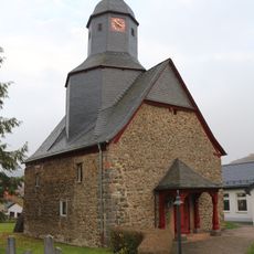
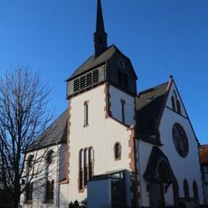
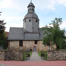
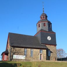
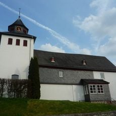
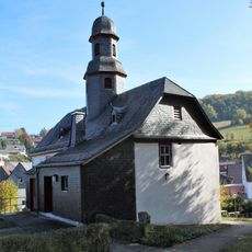
The six original villages that make up this municipality have retained their own names and local identities even though they now operate under one administration. This shared history of coming together still shapes how residents think about their place today.
The community of curious travelers
AroundUs brings together thousands of curated places, local tips, and hidden gems, enriched daily by 60,000 contributors worldwide.