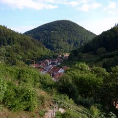
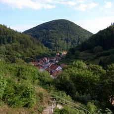
Walkenried, municipality of Germany
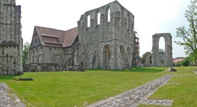
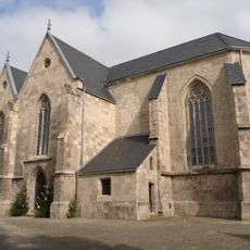
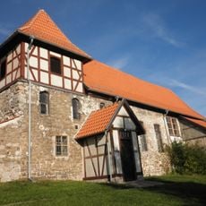
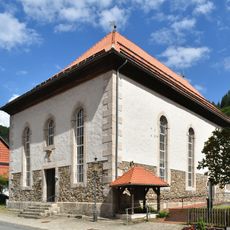
Walkenried is a small municipality in the Göttingen district built around a Cistercian monastery founded in 1127. The monastery complex with its Gothic church and historic buildings now operates as a museum offering insight into medieval monastic life.
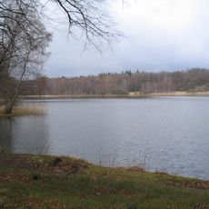
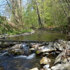
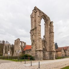
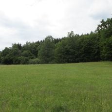
The monastery was founded in 1127 by Cistercian monks and developed into one of northern Germany's first Gothic churches. The monks shaped the region through extensive pond landscapes that enabled fishing and farming, some of which survive today.
The place takes its name from a Cistercian monastery that has shaped local identity since the 12th century. The monks did more than pray; they transformed the landscape through pond construction and farming, which remains visible in the surroundings today.
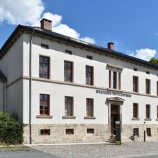
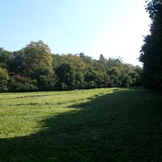
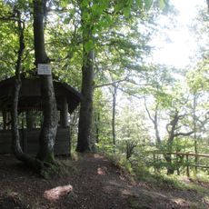
The site is easily accessible with parking available near the monastery complex. Comfortable shoes are recommended since there are numerous paths to explore the historic buildings and surrounding countryside.
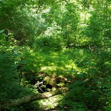
The monks created about 365 fish ponds in the surrounding area, with at least 50 still existing today as a nature reserve. This artificial pond landscape is one of the few surviving medieval water management systems of this scale in the region.
The community of curious travelers
AroundUs brings together thousands of curated places, local tips, and hidden gems, enriched daily by 60,000 contributors worldwide.