Enable Location

We need your location to show you interesting places around you

Discover nearby places

Find interesting locations and hidden gems around you

Precise directions

Get accurate directions and distances to places

Your location is never shared with other users. It's only used when you tap the location button.

Hüttenberg

Log in to your account

Start exploring — it's free

Trusted by 64,040 travelers worldwide

Continue with Google
Continue with Apple
or

We will send you a code to connect

By continuing, you accept our Terms and Conditions and our Privacy Policy

Check your inbox

We've sent a pincode in your inbox. Please enter the code below.

Discussion Reviews 1 Photos
15.4k Popularity

Hüttenberg, municipality in Lahn-Dill-Kreis in Hesse, Germany

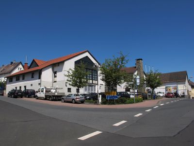
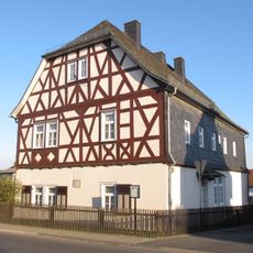
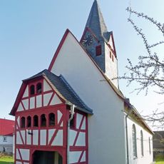
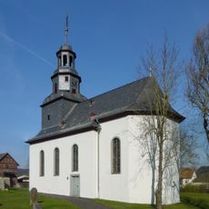
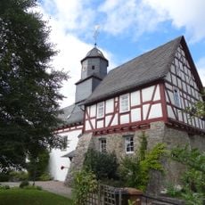
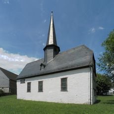
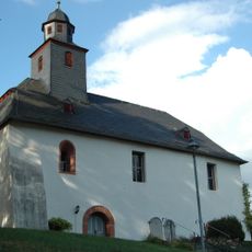
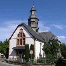
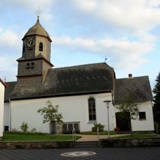
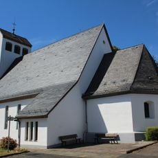
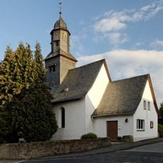
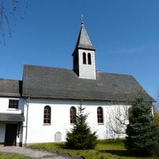
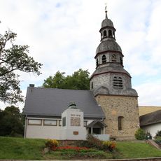
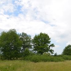
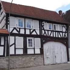
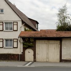
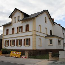
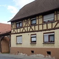
Hüttenberg is a municipality in the Lahn-Dill district comprising six small villages: Hüttenberg, Rechtenbach, Reiskirchen, Vollnkirchen, Volpertshausen, and Weidenhausen. The area spans approximately 40 square kilometers and is characterized by forests, meadows, and fields, with elevation ranging from about 240 to 300 meters (790 to 985 feet).

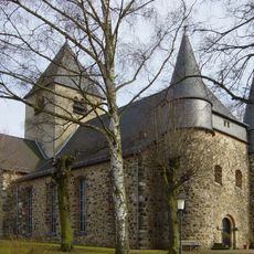
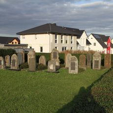
The municipality was established in 1977 by merging several smaller villages whose history extends back to medieval times, when assemblies were held on the wooded ridge. The area experienced centuries of changing rulers, including the Counts of Gleiberg, the Landgraves of Hesse, and the Counts of Nassau, before becoming part of Prussia after the Napoleonic Wars and later joining the modern state of Hesse.

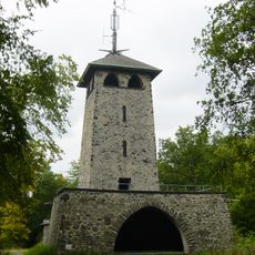
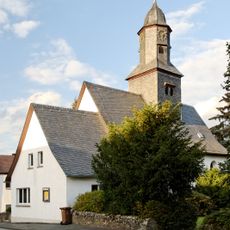
The name Hüttenberg refers to a former court site on a wooded ridge where gatherings took place in medieval times. The coat of arms shows a mountain with trees and a court scale, symbols that reflect this historical judicial role and remain important to the community's identity today.

The municipality is located between the towns of Wetzlar, Giessen, and Butzbach and is easily accessible by car. Streets in the villages are sometimes narrow and winding, but there are developed paths for walking and cycling through forests and meadows.

A special feature is the sheep herd, one of the oldest in Hesse, where animals have been raised for over 100 years to graze steep hillsides that machines cannot reach. The Donkey Trail is a popular walking route named after an old legend about a clever donkey that found its way home through the woods.

The community of curious travelers

AroundUs brings together thousands of curated places, local tips, and hidden gems, enriched daily by 60,000 contributors worldwide.

Start exploring
Location
Inception
1968
Elevation above the sea
296 m
Shares border with
Wetzlar, Schöffengrund
GPS coordinates
50.50000,8.61667
Latest update
February 20, 2026 00:00
Reviews
Share your experience

No review yet

Discussions
Start a discussion...

No discussion yet

« Hüttenberg - municipality in Lahn-Dill-Kreis in Hesse, Germany » is provided by Around Us (aroundus.com). Images and texts are derived from Wikimedia project under a Creative Commons license. You are allowed to copy, distribute, and modify copies of this page, under the conditions set by the license, as long as this note is clearly visible.

Discover hidden gems everywhere you go!

From secret cafés to breathtaking viewpoints, skip the crowded tourist spots and find places that match your style. Our app makes it easy with voice search, smart filtering, route optimization, and insider tips from travelers worldwide. Download now for the complete mobile experience.

Around Us App Screenshot

A unique approach to discovering new places

Le Figaro

All the places worth exploring

France Info

A tailor-made excursion in just a few clicks

20 Minutes

Around Us
Travel Guide & Maps
Download

Send to your phone

QR Code
1

Open the camera app on your mobile.

2

Point at the QR code with your camera. A notification will appear.

3

Tap the notification to open the link.