Ehringshausen, Non-urban municipality in Lahn-Dill-Kreis, Germany
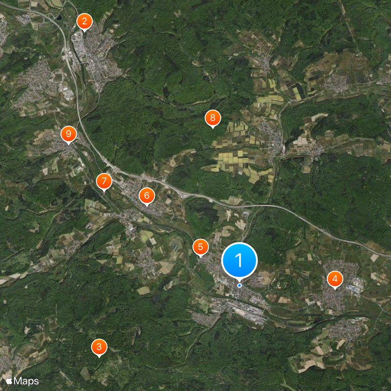
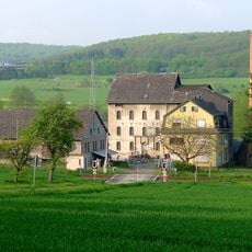
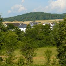
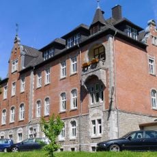
Ehringshausen is a municipality in the Lahn-Dill district that spreads across nine village centers, including Breitenbach, Daubhausen, and Dillheim. The area sits at about 186 meters elevation and covers around 45 square kilometers.
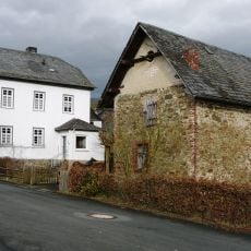
The first written mention appears in the Lorsch codex from 802, while Breitenbach, the oldest village center, traces its origins to around 778. Iron ore mining shaped the economy during the 19th and 20th centuries until operations stopped around 1956.
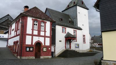
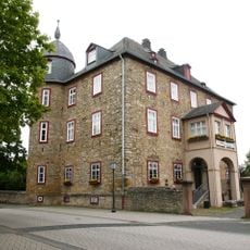
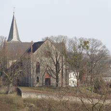
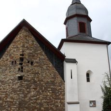
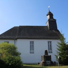
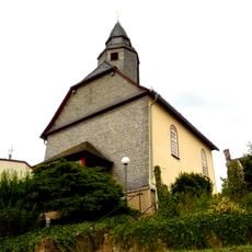
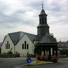
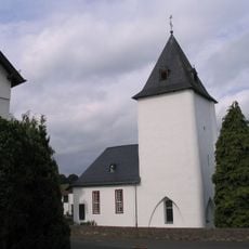
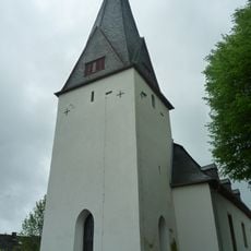
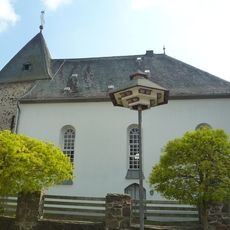
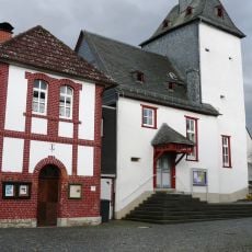
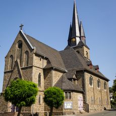
The church stands at the heart of each village center and serves as a gathering place that shapes the local character. It reflects the long religious tradition rooted in this region and its spiritual significance.
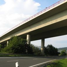
The Autobahn A45 and the Siegen-Gießen railway line connect the municipality with major transportation networks in the region. Regular train service makes it easy to reach the different village centers and explore the area.
Since 1973, the municipality has maintained partnerships with cities in France, the United Kingdom, and Thuringia. These international connections show a commitment to cultural exchange across borders.
Location: Lahn-Dill-Kreis
Elevation above the sea: 186 m
Shares border with: Sinn, Mittenaar, Aßlar, Solms, Leun, Greifenstein
Website: https://ehringshausen.de
GPS coordinates: 50.60000,8.38333
Latest update: December 7, 2025 09:25
Villa Haas
7.6 km
Dianaburg
4 km
Schloss
2.4 km
Kirche Dillheim
1.2 km
Protestant Church Katzenfurt
3.1 km
Marxmühle
4.2 km
Koppe
4.1 km
Evangelische Kirche (Edingen)
5.6 km
Evangelische Kirche
5.8 km
Evangelische Kirche Berghausen (Aßlar)
3 km
Evangelische Kirche Daubhausen
2.4 km
Evangelische Kirche (Werdorf)
2.4 km
Dilltalbrücke Edingen
5.9 km
Evangelische Kirche (Kölschhausen)
3.9 km
Evangelische Kirche (Niederlemp)
5.7 km
Jüdischer Friedhof Katzenfurt
3.1 km
Evangelische Kirche
7 km
Ehemalige evangelische Kirche Ehringshausen
164 m
Amtsgerichtsgebäude Ehringshausen
172 m
Laufbrunnen
5.8 km
Ehemalige Schule
5.7 km
Ehemalige Schule
2.4 km
Kriegerdenkmal
1.3 km
Gemeindehaus
5.7 km
Dillbrücke
1.2 km
Wohnhaus und Scheune
1.2 km
Ehemaliges Pfarrhaus
2.3 km
Grube Heinrichsegen
1.2 kmVisited this place? Tap the stars to rate it and share your experience / photos with the community! Try now! You can cancel it anytime.
Discover hidden gems everywhere you go!
From secret cafés to breathtaking viewpoints, skip the crowded tourist spots and find places that match your style. Our app makes it easy with voice search, smart filtering, route optimization, and insider tips from travelers worldwide. Download now for the complete mobile experience.
A unique approach to discovering new places❞
— Le Figaro
All the places worth exploring❞
— France Info
A tailor-made excursion in just a few clicks❞
— 20 Minutes