
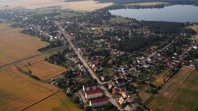
Bergwitz, human settlement
Location: Kemberg
Elevation above the sea: 69 m
GPS coordinates: 51.79472,12.58861
Latest update: May 8, 2025 11:28
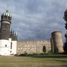
Schloss Wittenberg
8.6 km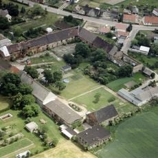
Hofgestüt Bleesern
4.9 km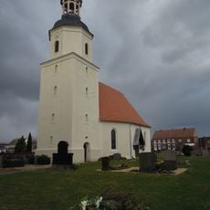
Protestant church Eutzsch
4.4 km
Elbebrücke Lutherstadt Wittenberg (road)
8.3 km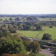
Elbebrücke Wittenberg (rail)
8.2 km
Alter Bahnhof Wittenberg
8.7 km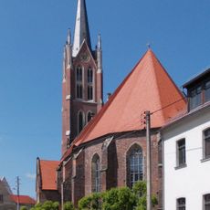
Stadtkirche St. Marien (Kemberg)
4.1 km
Luthergarten Wittenberg
8.6 km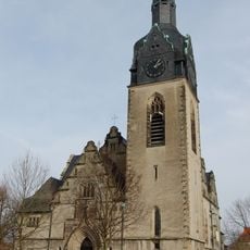
Protestant Church Lutherstadt Wittenberg
8.1 km
Wittenberger Brauhaus
8.7 km
Fließgraben
6.7 km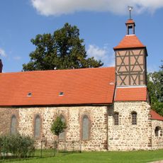
Protestant church Seegrehna
4.8 km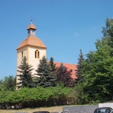
Protestant Church Rotta
3.4 km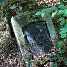
Old cemetery Bleesern
4.4 km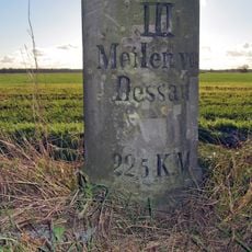
Meilenstein Rehsen
6.1 km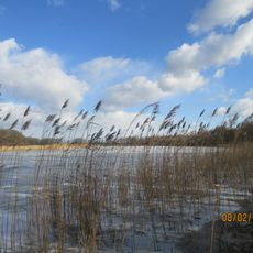
Crassensee
8.1 km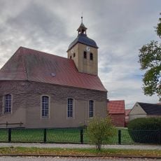
Protestant church Selbitz
4.4 km
St. Gertrud (Pratau)
6.6 km
Protestant church Gommlo
8.1 km
Protestant church Rackith
6.9 km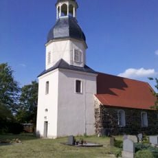
Protestant church Klitzschena
2.7 km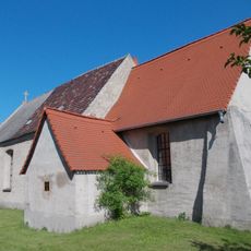
Protestant church Radis
7 km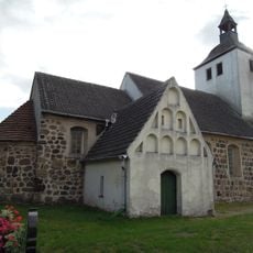
Protestant church Dorna (Kemberg)
8.6 km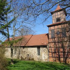
Protestant church Bergwitz
228 m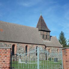
Protestant church Schleesen
7.1 km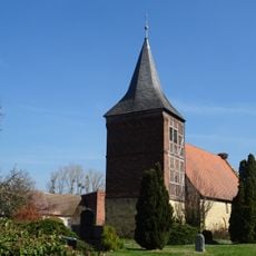
Protestant Church Lammsdorf
6 km
Gedenkstein Bahnhof Kleinspurbahn Kemberg
4 km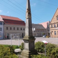
Polish-Saxon Post Milestone in Kemberg
4 kmReviews
Visited this place? Tap the stars to rate it and share your experience / photos with the community! Try now! You can cancel it anytime.
Discover hidden gems everywhere you go!
From secret cafés to breathtaking viewpoints, skip the crowded tourist spots and find places that match your style. Our app makes it easy with voice search, smart filtering, route optimization, and insider tips from travelers worldwide. Download now for the complete mobile experience.

A unique approach to discovering new places❞
— Le Figaro
All the places worth exploring❞
— France Info
A tailor-made excursion in just a few clicks❞
— 20 Minutes