Kemberg, municipality of Germany
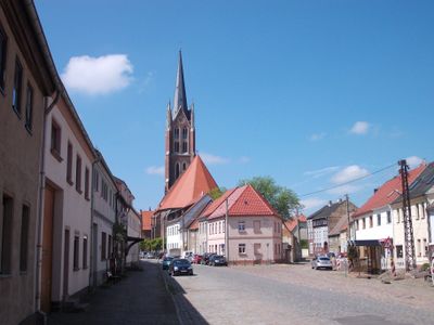
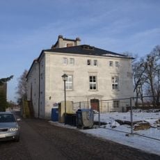
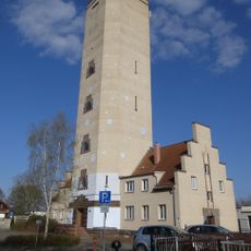
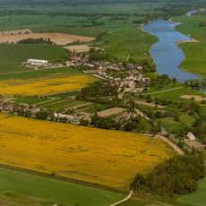
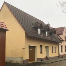
Kemberg is a small town in Saxony-Anhalt near Wittenberg with narrow streets and buildings from different periods. It is characterized by residences, churches, and shops arranged around a quiet town center.
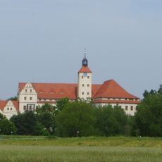
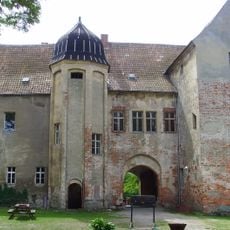
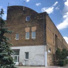
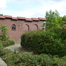
Kemberg originated centuries ago as a crafts settlement and grew through trade with surrounding villages. The town retained its basic structure through various historical periods, with many original buildings still standing today.
The name Kemberg reflects its past as a center for crafts and trade. Today, simple residential buildings and small shops shape its character, where locals gather daily and share community life.
The town is easy to explore on foot, with flat central streets and most places within walking distance. Small hotels and guesthouses offer simple accommodations for visitors wanting to spend a few days exploring the area.
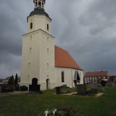
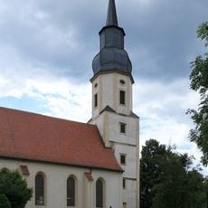
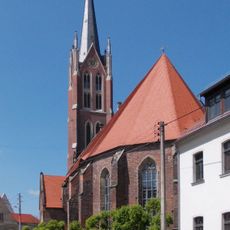
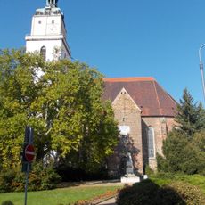
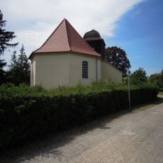
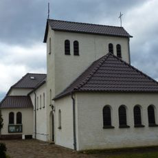
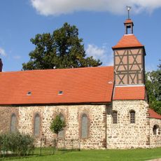
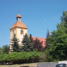
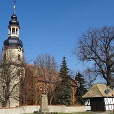
The town's old church has stood for centuries and serves as an anchor for the community. Its stonework and quiet interior reveal layers of craftsmanship and time that many visitors find surprisingly peaceful and timeless.
The community of curious travelers
AroundUs brings together thousands of curated places, local tips, and hidden gems, enriched daily by 60,000 contributors worldwide.