
Gondenbrett, municipality of Germany
Location: Eifelkreis Bitburg-Prüm
Elevation above the sea: 450 m
Website: http://pruem.de
GPS coordinates: 50.23556,6.41472
Latest update: March 4, 2025 01:12
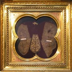
Sandals of Christ
3.3 km
Prüm Abbey
3.3 km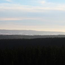
Schwarzer Mann
4.5 km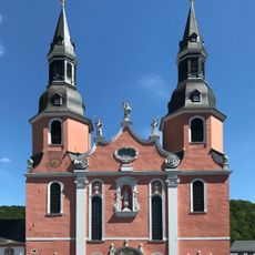
Basilica of the Transfiguration of Our Lord, Prüm
3.3 km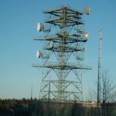
Prüm Air Station
5.4 km
Bleialf transmitter
4.5 km
Sender Bleialf
5.6 km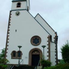
Protestant Church (Pruem)
3.3 km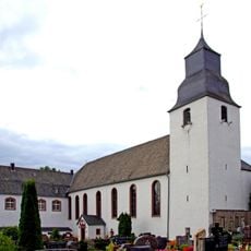
St. Gordian und Epimachus
4.4 km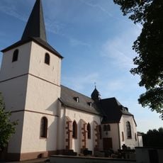
St. Maximin
5.3 km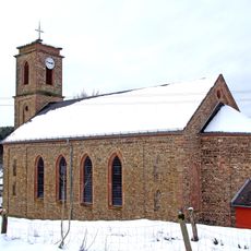
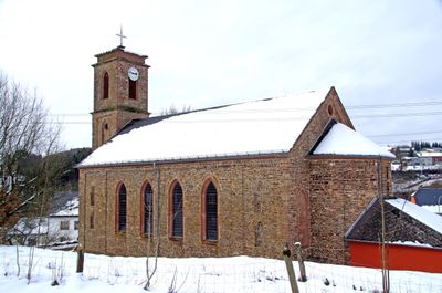
St. Dionysius
194 m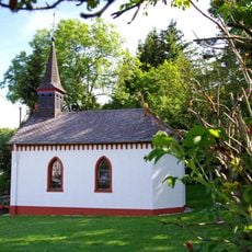
St. Odilia
2.9 km
Barbarakapelle
7.1 km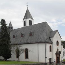
St. Brictius
5.1 km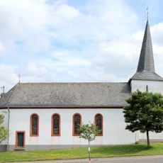
St. Stephan
8.2 km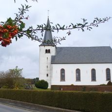
Saint Willibrord Church
4 km
St. Leonhard
8.1 km
Der Dulder Job
4.7 km
St. Isidor
3.8 km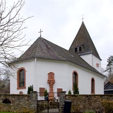
St. Ursula
2.7 km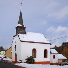
St. Jesu Namen
1.9 km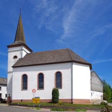
St. Hubertus
6 km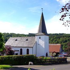
St. Agatha und Lucia
5.9 km
St. Franz Xaver
7.6 km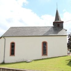
St. Eligius (Schlausenbach)
6.7 km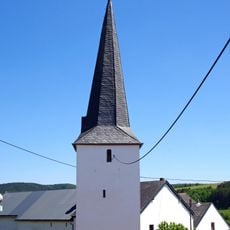
St. Leonhard
5.8 km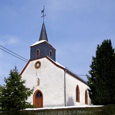
St. Lambertus
3.9 km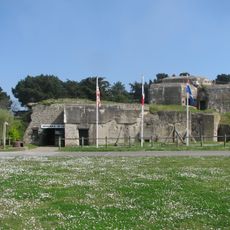
Blockhaus du fort d'Aleth
2.6 kmVisited this place? Tap the stars to rate it and share your experience / photos with the community! Try now! You can cancel it anytime.
Discover hidden gems everywhere you go!
From secret cafés to breathtaking viewpoints, skip the crowded tourist spots and find places that match your style. Our app makes it easy with voice search, smart filtering, route optimization, and insider tips from travelers worldwide. Download now for the complete mobile experience.

A unique approach to discovering new places❞
— Le Figaro
All the places worth exploring❞
— France Info
A tailor-made excursion in just a few clicks❞
— 20 Minutes