Karwendel

Log in to your account

AroundUs is a community-driven map of interesting places, built by curious explorers like you. It grows with every review, story, and photo you share.
Connect to save your favorite spots, contribute locations, and create personalized routes.
By continuing, you accept our Terms and Conditions and our Privacy Policy
Add to collection
Map
Suggest a change
Share

Karwendel, Mountain range between Isar and Inn rivers, Austria and Germany

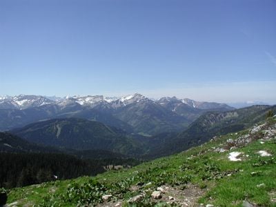
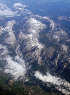
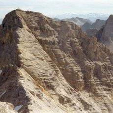
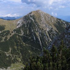
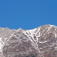
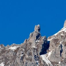
Karwendel is a mountain subsection within the Northern Limestone Alps, stretching between the Isar valley to the north and the Inn valley to the south. The peaks, built from sedimentary rock, are marked by steep pale cliff walls and deeply carved valleys.

The name Karwendel comes from the Old High German family name Gerwendil, which first appeared in a document dated 1280. In the 19th century, alpine explorer Hermann von Barth used the term for the entire range, helping it gain its current widespread use.

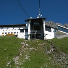
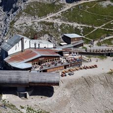
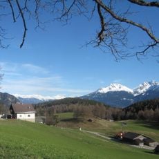
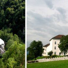
On the Austrian side, several mountain huts open during summer and offer food and rest to hikers passing through the valleys. The forests at the base of the limestone walls climb steep slopes, creating a contrast between pale rock and dark green canopy.

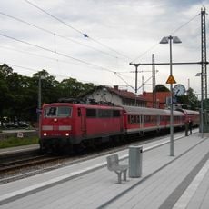
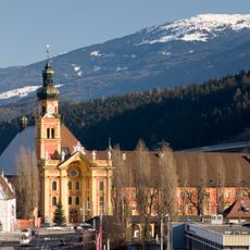
From Mittenwald, Scharnitz, Seefeld, Pertisau, and Hall, trails and forestry roads lead into the valleys and toward the peaks. High summer is the easiest time to explore, as snowfields and avalanches can make approaches difficult during spring.

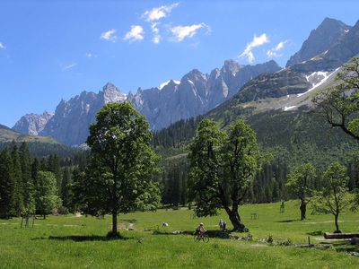
At Großer Ahornboden in the Riss valley, over 2000 sycamore maples grow, many older than a century, making this the largest continuous maple forest in the Alps. The trees stand scattered across a wide valley floor and create a glowing color display in autumn.

Location: Tyrol

Location: Bavaria

Elevation above the sea: 2,749 m

Made from material: sedimentary rock

Part of: North Tyrol Limestone Alps

GPS coordinates: 47.41139,11.43750

Latest update: December 12, 2025 17:54

Photos
Historic sites and nature areas in Bavaria

Bavaria combines medieval castles, baroque churches, and natural areas into one region. Palaces sit in forests, old monasteries stand near rivers, and mountain lakes dot the Alps. Cities preserve their medieval buildings and streets while the landscape spreads across mountains, lakes, and hiking...

Reviews

Visited this place? Tap the stars to rate it and share your experience / photos with the community! Try now! You can cancel it anytime.

« Karwendel - Mountain range between Isar and Inn rivers, Austria and Germany » is provided by Around Us (aroundus.com). Images and texts are derived from Wikimedia project under a Creative Commons license. You are allowed to copy, distribute, and modify copies of this page, under the conditions set by the license, as long as this note is clearly visible.

Discover hidden gems everywhere you go!

From secret cafés to breathtaking viewpoints, skip the crowded tourist spots and find places that match your style. Our app makes it easy with voice search, smart filtering, route optimization, and insider tips from travelers worldwide. Download now for the complete mobile experience.

Around Us App Screenshot

A unique approach to discovering new places

Le Figaro

All the places worth exploring

France Info

A tailor-made excursion in just a few clicks

20 Minutes