
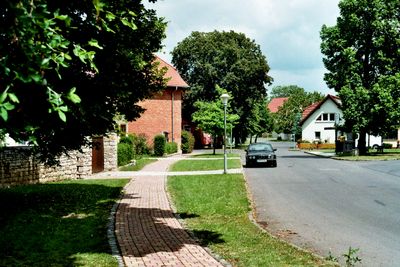
Wohlsborn, municipality of Germany
Location: Am Ettersberg
Elevation above the sea: 285 m
Shares border with: Kromsdorf, Ilmtal-Weinstraße, Sachsenhausen, Großobringen
Website: http://wohlsborn.de
GPS coordinates: 51.03222,11.36500
Latest update: April 10, 2025 07:07
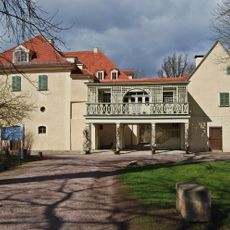
Tiefurt House
4.3 km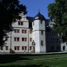
Schloss Kromsdorf
3.1 km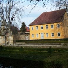
Wielandgut Oßmannstedt
4.7 km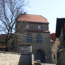
Ordensburg Liebstedt
3.5 km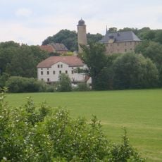
Burg Denstedt
3.7 km
Amor
4.2 km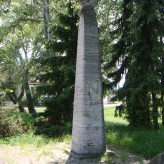
Rosa-Luxemburg-Denkmal
3 km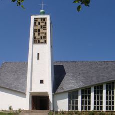
Stephanuskirche Schöndorf
2.5 km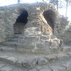
Vergilgrotte Tiefurt
4.1 km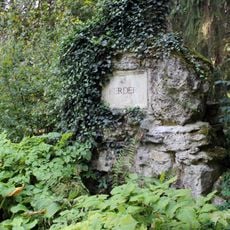
Herderdenkmal
4.2 km
Tempel
4.2 km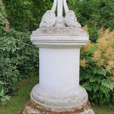
Mozart-Denkmal Tiefurt
4.4 km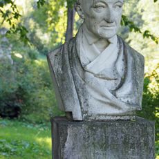
Wieland-Ecke im Schlosspark Tiefurt
4 km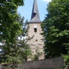
St. Peter und Paul (Großobringen)
2.1 km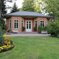
Teahouse in the park of Schloss Tiefurt
4.3 km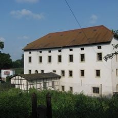
Clauder Mühle Denstedt
3.6 km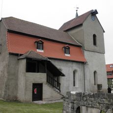
Protestant Church (Ulrichshalben)
4.4 km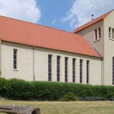
St. Bonifatius (Schöndorf)
2.7 km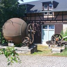
Mühle in Tiefurt
4.3 km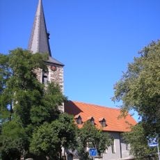
Saint Kilian Church
1.5 km
Church in Wohlsborn
23 m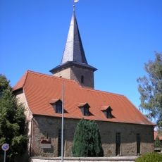
St. Vitus (Leutenthal)
2.6 km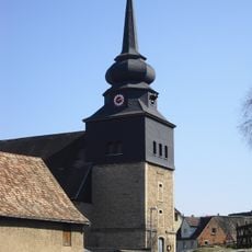
St. Laurentius
3.6 km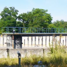
Kläranlage Weimar
4.4 km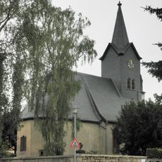
Dorfkirche Kromsdorf
3.5 km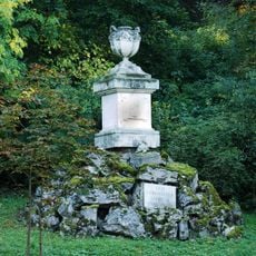
Gedenkstein für Prinz Leopold von Braunschweig-Wolfenbüttel
4.2 km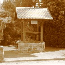
Margaretenbrunnen
2 km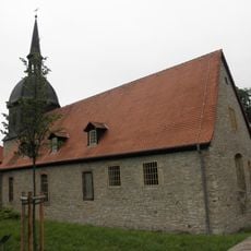
Dorfkirche Denstedt
3.7 kmVisited this place? Tap the stars to rate it and share your experience / photos with the community! Try now! You can cancel it anytime.
Discover hidden gems everywhere you go!
From secret cafés to breathtaking viewpoints, skip the crowded tourist spots and find places that match your style. Our app makes it easy with voice search, smart filtering, route optimization, and insider tips from travelers worldwide. Download now for the complete mobile experience.

A unique approach to discovering new places❞
— Le Figaro
All the places worth exploring❞
— France Info
A tailor-made excursion in just a few clicks❞
— 20 Minutes