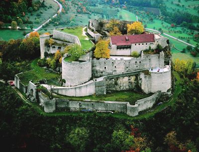
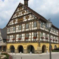
Hohenneuffen Castle, Medieval castle in Neuffen, Germany
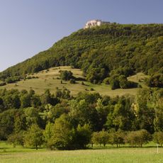
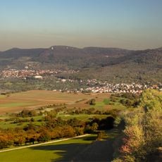
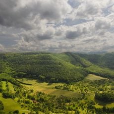
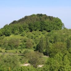
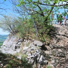
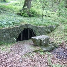
Hohenneuffen is a castle built on a Jurassic limestone rock formation at about 743 meters elevation, with extensive stone walls and defensive structures spread across the grounds. The structure features characteristic medieval architecture with massive ramparts and towers positioned strategically along the ridge.
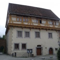
The castle was built between 1100 and 1120 by Mangold von Sulmetingen and passed through several noble families over time. In 1301, it came under the control of the Württemberg Counts, securing its political importance to the region.
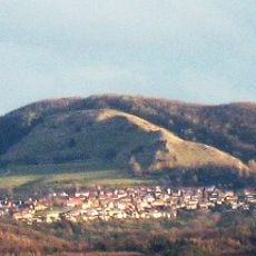
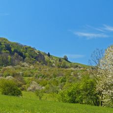
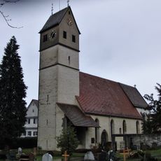
The name Neuffen comes from ancient Celtic roots meaning holy or sacred, reflecting the long spiritual significance of this mountain location. Visitors can sense this old connection while walking the grounds and taking in the views across the surrounding countryside.
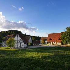
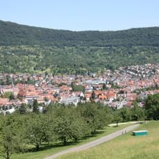
The site is easily accessible on foot from the town center with well-marked trails leading up the hillside. Wear appropriate footwear since the climb is steep and paths can be uneven in places.
In 1948, important negotiations took place at the castle that led to the formation of the modern state of Baden-Württemberg during Allied occupation. These historic meetings shaped the site's significance beyond its medieval past.
Location: Neuffen
Inception: 1198
Accessibility: Wheelchair inaccessible
Opening Hours: Sunday-Tuesday 09:00-19:00; Wednesday-Saturday 09:00-22:00
Phone: +4970252206
Website: https://hohenneuffen.de
GPS coordinates: 48.55556,9.39241
Latest update: December 20, 2025 12:18
Freilichtmuseum Beuren
2.8 km
Jusiberg
4 km
Evangelische Stiftskirche Dettingen
4.5 km
Steinach
3.6 km
Bauerloch
930 m
Neuffener Hörnle-Jusenberg
3.3 km
Evangelische Martinskirche Neuffen
1.2 km
Neuffener Heide
464 m
Alb zwischen Jusi und Teck
1.5 km
Großes Haus
1.3 km
Goldland-Klausenberg
3.1 km
Neuffen auf Gemarkungen Neuffen und Kappishäusern
1.6 km
Albtrauf Beuren
2.9 km
LSG 'Gebiete um Frickenhausen, Linsenhofen und Tischardt' (4 Teilgebiete) vom 02.03.1982
4.2 km
LSG 'Albtrauf Kohlberg' 10.07.1984
3.8 km
LSG 'Beuren' vom 09.04.2001
2.5 km
Jusi - Auf dem Berg
4.2 km
Engelberg (Beuren)
2.7 km
Rathaus Neuffen
1.2 km
St. Nikolaus (Beuren)
1.7 km
Beurener Fels
2.6 km
St. Theodors Buckel
2.8 km
Steinbruch im Gewann Dentel
2.6 km
Vulkanembryo Molach
1.3 km
Barnberghöhle mit Fels
1.6 km
Kastanie
4.3 km
Hohlweg mit Quelle im Gewann Brunnenhalde (Beurener Brünnele)
2.7 km
Vulkanembryo Hochbölle
1.7 kmVisited this place? Tap the stars to rate it and share your experience / photos with the community! Try now! You can cancel it anytime.
Discover hidden gems everywhere you go!
From secret cafés to breathtaking viewpoints, skip the crowded tourist spots and find places that match your style. Our app makes it easy with voice search, smart filtering, route optimization, and insider tips from travelers worldwide. Download now for the complete mobile experience.
A unique approach to discovering new places❞
— Le Figaro
All the places worth exploring❞
— France Info
A tailor-made excursion in just a few clicks❞
— 20 Minutes