Marienfelde, Residential locality in Tempelhof-Schöneberg, Germany
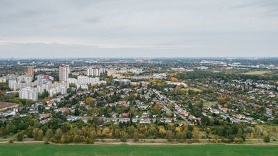
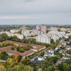
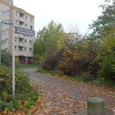
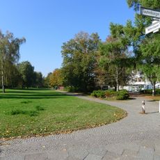
Marienfelde is a residential area in southwestern Berlin containing single-family homes, apartment buildings, and commercial zones. The district sits at around 44 meters elevation and balances residential streets with green spaces and business areas.
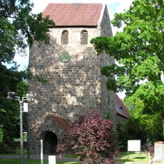
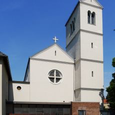
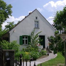
The area arose around 1220 during German colonization when religious military orders established a fieldstone church that still exists today. This early church ranks among Berlin's oldest structures and has shaped the locality's character since its founding.
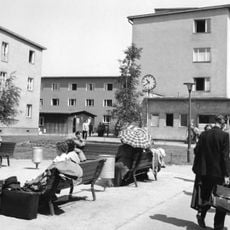
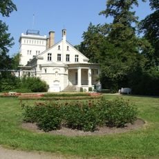
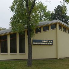
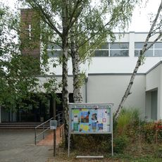
The area takes its name from a pilgrimage chapel that once served as the heart of community life. Today you'll find a mix of residential streets, meeting spaces, and local shops where neighbors gather regularly.
Three railway stations connect the area to Berlin's public transport network, while numerous bus lines provide additional connections throughout the district. This infrastructure makes it straightforward to reach other neighborhoods or travel within the area.
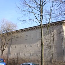
An automobile engine factory founded in 1902 has shaped the area for over a century as a major employer and industrial presence. The plant site continues to represent the locality's working heritage and blend of traditional craftsmanship with modern production.
Location: Tempelhof-Schöneberg
Elevation above the sea: 44 m
Shares border with: Mariendorf, Lankwitz, Lichterfelde, Lichtenrade, Großbeeren
GPS coordinates: 52.41670,13.36670
Latest update: December 7, 2025 10:07
Marienfelde refugee transit camp
429 m
Trabrennbahn Mariendorf
2.1 km
Dorfkirche Marienfelde
501 m
Großwohnsiedlung Waldsassener Straße
1.4 km
Gutspark Marienfelde
852 m
St. Alfons
864 m
Dietrich-Bonhoeffer-Kirche
2.7 km
Gemeindezentrum Paul-Schneider
1.6 km
Gemeindezentrum Dietrich-Bonhoeffer
1.7 km
Nathan-Söderblom-Haus
2.1 km
Wäldchen am Königsgraben
2.8 km
Tympanon
1.6 km
Guter Hirte
878 m
Discus Thrower
1.7 km
Findling auf dem Lessingplatz
2.1 km
Findling am Ekensunder Platz
3.1 km
Gutshaus Marienfelde
693 m
Fountain
673 m
Rot-Buche Josefsheim
785 m
Kossätenhaus, Ende 18. Jh., erweitert Mitte 19. Jh.; Scheune Alt-Marienfelde 12/12A
625 m
Kurfürstenstraße 65
2 km
Hochbunker Eiswaldtstraße
1.7 km
Dr.-Jacobsohn-Promenade
544 m
Wohnhaus mit Zaun Alt-Marienfelde 21A
573 m
Findling in der Maffeistraße
3.1 km
Zwei Findlinge im Gemeindepark Lankwitz
1.8 km
Freiplastik mit Strahlungszentrum
1.2 km
Waltershauser Straße
1.5 kmVisited this place? Tap the stars to rate it and share your experience / photos with the community! Try now! You can cancel it anytime.
Discover hidden gems everywhere you go!
From secret cafés to breathtaking viewpoints, skip the crowded tourist spots and find places that match your style. Our app makes it easy with voice search, smart filtering, route optimization, and insider tips from travelers worldwide. Download now for the complete mobile experience.
A unique approach to discovering new places❞
— Le Figaro
All the places worth exploring❞
— France Info
A tailor-made excursion in just a few clicks❞
— 20 Minutes