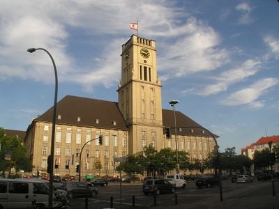
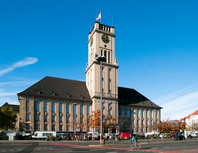
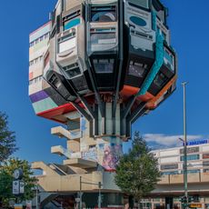
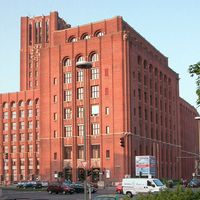
Tempelhof-Schöneberg, Borough district in Berlin, Germany.
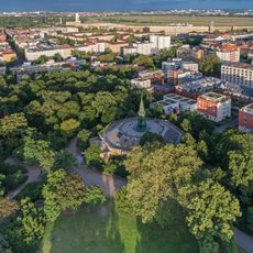
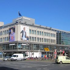
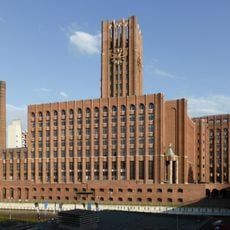
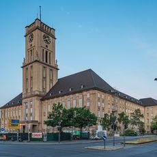
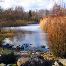
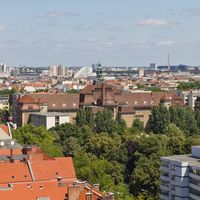
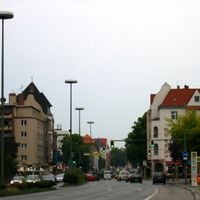
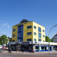
Tempelhof-Schöneberg sits in the southern part of the city and covers the localities of Schöneberg, Friedenau, Tempelhof, Mariendorf, Marienfelde, and Lichtenrade. The district runs from the old airport grounds to residential areas at the southern edge, bringing together older neighborhoods with quieter housing zones and wide green spaces.
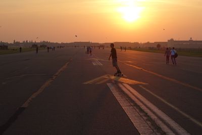
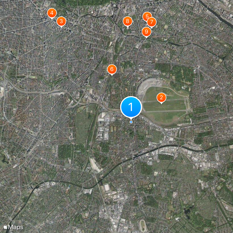
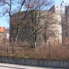
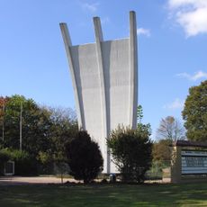
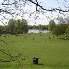
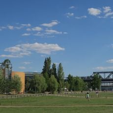
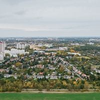
The airport served as a landing site for supply planes during the blockade from 1948 to 1949, keeping the western sectors of the city alive. Closing in 2008, the airport grounds turned into an open park that residents now use in many ways.
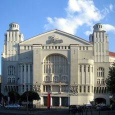
The area around Nollendorfplatz displays rainbow flags outside bookshops and cafés that welcome a queer audience. Throughout the year, gatherings and celebrations take place there, shaping the neighborhood as a meeting point and giving local life its particular character.
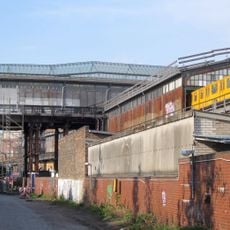
The U6 metro line crosses the district from north to south, while the U7 connects several residential areas and centers from east to west. Anyone exploring the district can get off at the larger stations and wander the nearby streets on foot or by bicycle.
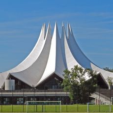
On Tempelhofer Feld, cyclists ride along the old runways while community gardens spring up on other patches and kite fliers use the open sky. You can still feel the former landing strips under your tires when you cross the grounds on a sunny afternoon.
The community of curious travelers
AroundUs brings together thousands of curated places, local tips, and hidden gems, enriched daily by 60,000 contributors worldwide.