
Lanitz-Hassel-Tal, municipality of Germany
Location: An der Finne
Elevation above the sea: 271 m
Shares border with: Balgstädt, Bad Sulza
GPS coordinates: 51.15000,11.66667
Latest update: March 5, 2025 03:57

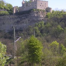
Rudelsburg
5.3 km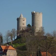
Saaleck Castle
5.1 km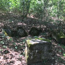
Friedenssteine
3.4 km
Rudelsburg
5.4 km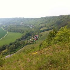
Landesweingut Kloster Pforta
4.6 km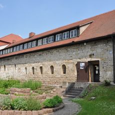
Romanisches Haus (Bad Kösen)
4.2 km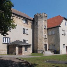
Schloss Klosterhäseler
4.2 km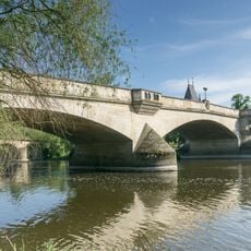
Saalebrücke Bad Kösen
4 km
Berghotel Wilhelmsburg
3.8 km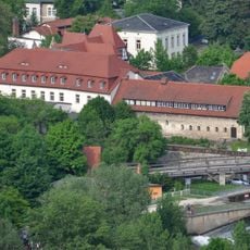
Mutiger Ritter
4.2 km
Buchenhalle
4.7 km
Villa Schultze-Naumburg
4.6 km
Lutherkirche
3.9 km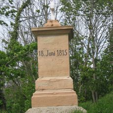
Napoleonstein
4.7 km
Göttersitz
4.3 km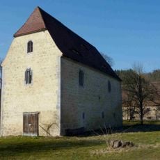
Gotisches Haus (Burgheßler)
1.4 km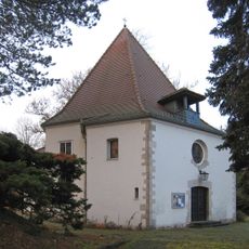
Catholic Church Christkönig in Bad Kösen
4.4 km
Hausbrücke
5.1 km
Saale-Ilm-Platten bei Bad Kösen
5.5 km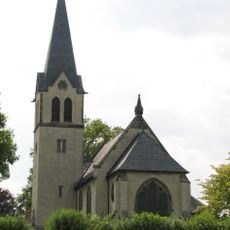
Kirche Gernstedt
5.2 km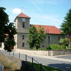
Dorfkirche Rehehausen
4.4 km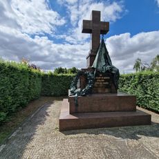
War memorial Hassenhausen
2.6 km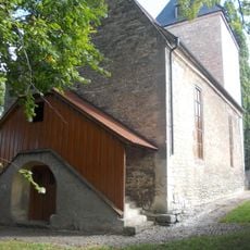
Dorfkirche Hassenhausen (Naumburg)
2.6 km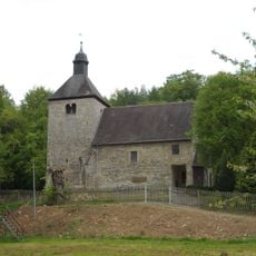
Kirche Burgheßler
1.3 km
Dorfkirche Klosterhäseler
4.1 km
St. Laurentius
4.8 km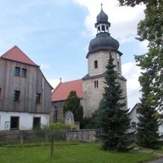
Punschrau church
1.2 km
Rosenkirche St. Elisabeth
5.3 kmVisited this place? Tap the stars to rate it and share your experience / photos with the community! Try now! You can cancel it anytime.
Discover hidden gems everywhere you go!
From secret cafés to breathtaking viewpoints, skip the crowded tourist spots and find places that match your style. Our app makes it easy with voice search, smart filtering, route optimization, and insider tips from travelers worldwide. Download now for the complete mobile experience.

A unique approach to discovering new places❞
— Le Figaro
All the places worth exploring❞
— France Info
A tailor-made excursion in just a few clicks❞
— 20 Minutes