
Müritz National Park, National park in Mecklenburg-Vorpommern, Germany.
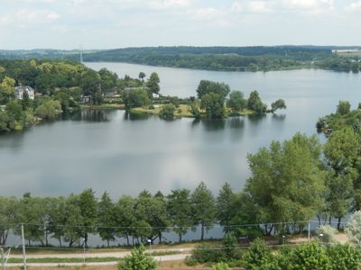
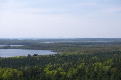
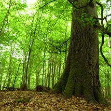
The protected area spans 318 square kilometers, featuring ancient beech forests, over 130 lakes, marshlands, and a network of trails through diverse landscapes.
Established in October 1990 after German reunification, the park contains lands that were previously restricted military zones during the Cold War period.
The Heinrich Schliemann Museum in Ankershagen presents exhibits about the renowned archaeologist who discovered ancient Troy and spent his childhood in this region.
Visitors can access the park through multiple entry points near Waren and Neustrelitz, with the Müritzeum serving as the primary information center.
The park contains the source of the Havel River and marks the watershed divide between the Baltic Sea and North Sea drainage basins.
Location: Möllenhagen
Location: Schloen-Dratow
Location: Kargow
Location: Waren
Location: Klein Vielen
Location: Ankershagen
Location: Kratzeburg
Location: Rechlin
Location: Mirow
Location: Neustrelitz
Location: Userin
Location: Wesenberg
Location: Carpin
Location: Grünow
Location: Feldberger Seenlandschaft
Location: Wokuhl-Dabelow
Inception: October 1, 1991
Website: http://nationalpark-mueritz.de
GPS coordinates: 53.43640,12.83670
Latest update: May 27, 2025 11:47
Heilige Hallen
37.5 km
Altstrelitzer Gefängnis
21 km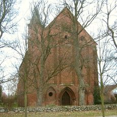
Kloster Wanzka
26.4 km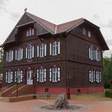
Waldsee Hunting Castle
33.7 km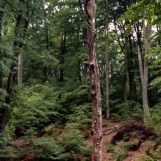
Serrahn Hills
27 km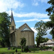
Church in Altthymen
30.9 km
Gut Mühlenhof
30.7 km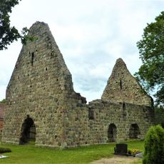
Kirchenruine Retzow
36.8 km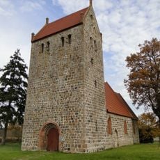
Church in Mechow (Feldberger Seenlandschaft)
40.7 km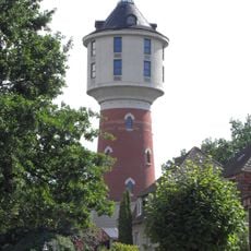
Water tower in Neustrelitz
17.9 km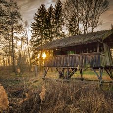
Kalkhorst
20.2 km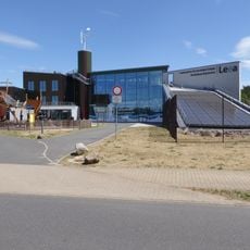
Leea - Landeszentrum für erneuerbare Energien Mecklenburg-Vorpommern
18.9 km
Logenhaus St. Johannisloge Georg zur wahren Treue
17.8 km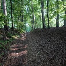
Klapperberge
36 km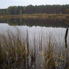
Kulowseen
27.2 km
Augustastraße 1
17.8 km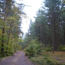
Comthureyer Berg
29.9 km
Marienstraße 2
17.8 km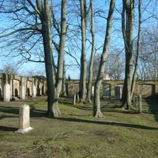
Jewish Cemetery
17.9 km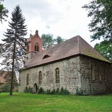
Dorfkirche Rutenberg
37.3 km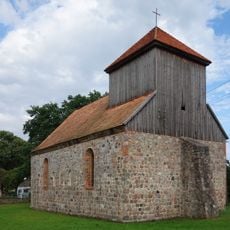
Village church Beenz (Lychen)
38.7 km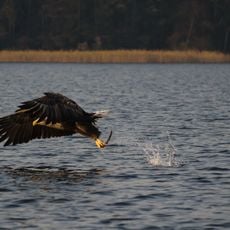
Feldberger Seenlandschaft
36.2 km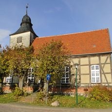
Church in Thurow
23.8 km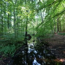
Klapperberge
36.2 km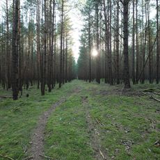
Sandergebiet südlich von Serrahn
30.8 km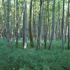
Wald- und Seenlandschaft Lieps-Serrahn
31.6 km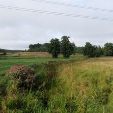
Godendorfer Mühlenbach
31.4 km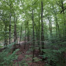
Loisach valley wetlands
28.8 kmReviews
Visited this place? Tap the stars to rate it and share your experience / photos with the community! Try now! You can cancel it anytime.
Discover hidden gems everywhere you go!
From secret cafés to breathtaking viewpoints, skip the crowded tourist spots and find places that match your style. Our app makes it easy with voice search, smart filtering, route optimization, and insider tips from travelers worldwide. Download now for the complete mobile experience.

A unique approach to discovering new places❞
— Le Figaro
All the places worth exploring❞
— France Info
A tailor-made excursion in just a few clicks❞
— 20 Minutes