Feldberger Seenlandschaft, Lake district municipality in Mecklenburgische Seenplatte District, Germany.
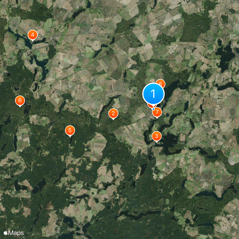
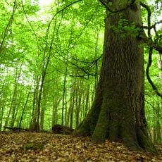
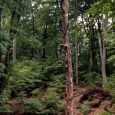
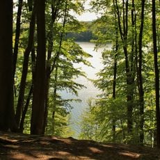
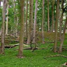
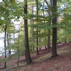
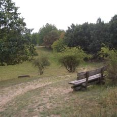
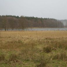
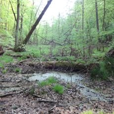
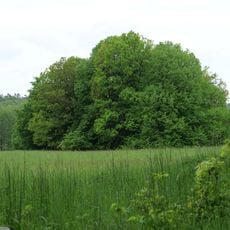
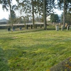
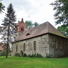
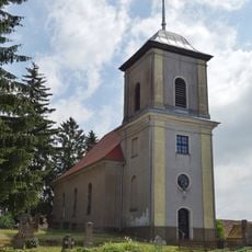
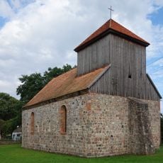
Feldberger Seenlandschaft is a municipality in the Mecklenburgische Seenplatte covering more than 200 square kilometers of lakes, beech forests, and glacial ridges. The landscape appears open and green, with water and woodland alternating throughout.
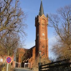
The region was shaped by glaciers during the ice age, which created the lakes and hills. During the 20th century, the area played a role in German history, including the post-war period.
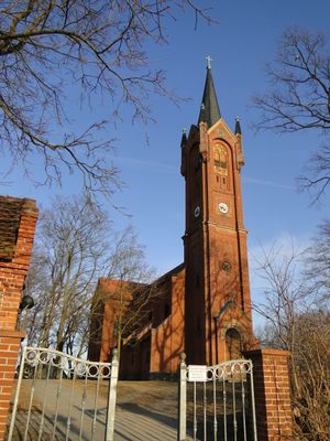
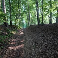
The name comes from the Feldberg, the highest point in the region that gives the area its identity. Locals and visitors value the forests and lakes as places for walking and spending time outdoors.
The area is best explored on foot or by bicycle, as trails lead through the lakes and forests. An information center provides guidance and planning help for nature outings.
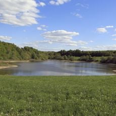
One of the lakes here, the Breiter Luzin, descends very deep below the surface and ranks among the deepest water bodies in the region. This depth makes it a notable feature of the landscape.
The community of curious travelers
AroundUs brings together thousands of curated places, local tips, and hidden gems, enriched daily by 60,000 contributors worldwide.