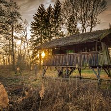
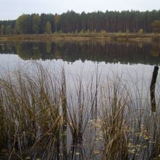
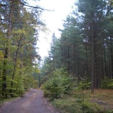
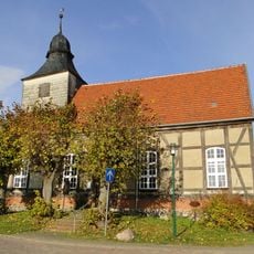
Serrahn Hills, Forested ridge in Mecklenburg Lake District, Germany.
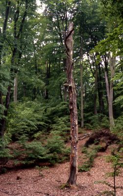
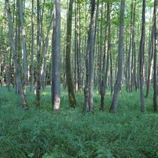
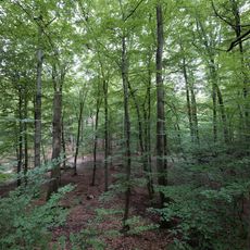
Serrahn Hills is a forested ridge extending through the eastern section of Müritz National Park, reaching about 124 meters elevation. The terrain shows gentle slopes covered in dense woodland that defines the character of this entire area.
The area was first documented in 1569 and experienced significant timber trade between 1614 and 1623 that shaped local economic development. This period established patterns of land use that remain visible in how the forest has been managed ever since.
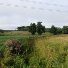
The forests here shaped centuries of life in this region, with local communities depending on timber and hunting in these woodlands. Today, visitors can see how the landscape continues to define how people relate to nature in this part of Mecklenburg.
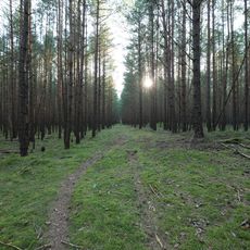
Visitors can explore the area using marked hiking trails throughout Müritz National Park, with the village of Serrahn serving as a natural starting point. The trails are well-maintained, and sturdy footwear is recommended for walking through forest terrain.
The beech forests here received UNESCO World Heritage designation in 2011 for their exceptional natural value and integrity. Visitors walk through forest types that have become rare in Europe and witness how old-growth woodland develops naturally over time.
The community of curious travelers
AroundUs brings together thousands of curated places, local tips, and hidden gems, enriched daily by 60,000 contributors worldwide.