
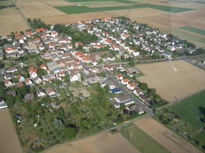
Bauernheim, human settlement in Germany
Location: Friedberg
Elevation above the sea: 146 m
GPS coordinates: 50.33860,8.80541
Latest update: May 6, 2025 21:57
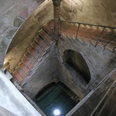
Mikwe in Friedberg
3.6 km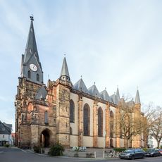
Stadtkirche Friedberg
3.6 km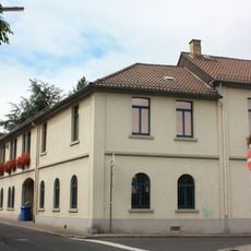
Wetterau-Museum
3.5 km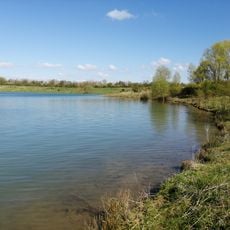
Bergwerksee
3.1 km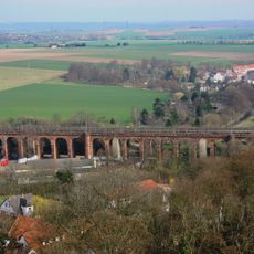
Rosentalviadukt (Friedberg)
3.4 km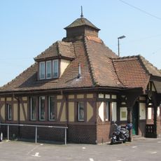
Friedberg (Hess) station
3.3 km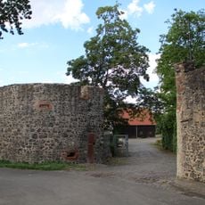
Schloss Dorheim
1.8 km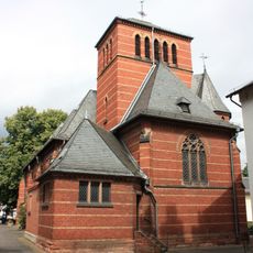
Katholische Pfarrkirche Mariä Himmelfahrt
3.4 km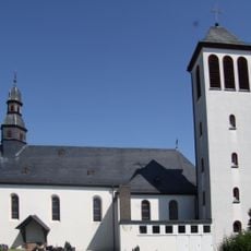
St. Maria Magdalena
2.4 km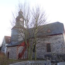
Johanniskirche
1.5 km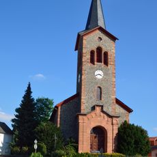
Evangelische Kirche
3.6 km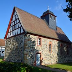
Kirche Bauernheim
214 m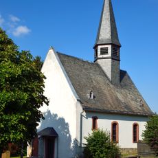
Evangelische Pfarrkirche
1.4 km
Friedhof
3.1 km
Am Hechtgraben bei Dorheim
760 m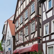
Fachwerkhaus Usagasse 14
3.5 km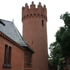
Roter Turm
3.4 km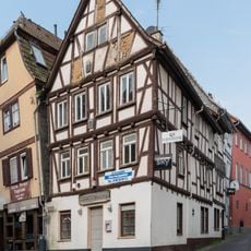
Fachwerkhaus Usagasse 3
3.6 km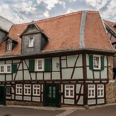
Fachwerkhaus Usagasse 11
3.5 km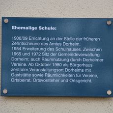
Ehem. Schule
1.7 km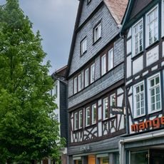
Haus Kaiserstraße 34
3.6 km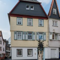
Fachwerkhaus Usagasse 5
3.6 km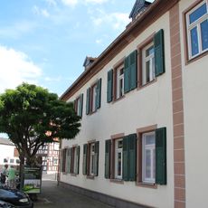
Ehemaliges hanauisches Amtshaus
1.7 km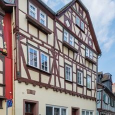
Fachwerkhaus Usagasse 13
3.5 km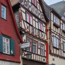
Fachwerkhaus Usagasse 15
3.5 km
Haus Äpfelgasse 2
1.6 km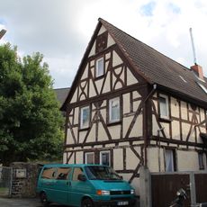
Haus Zur Kirche 5
1.6 km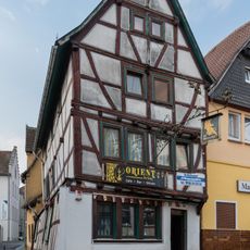
Former inn Zum goldenen Engel
3.6 kmReviews
Visited this place? Tap the stars to rate it and share your experience / photos with the community! Try now! You can cancel it anytime.
Discover hidden gems everywhere you go!
From secret cafés to breathtaking viewpoints, skip the crowded tourist spots and find places that match your style. Our app makes it easy with voice search, smart filtering, route optimization, and insider tips from travelers worldwide. Download now for the complete mobile experience.

A unique approach to discovering new places❞
— Le Figaro
All the places worth exploring❞
— France Info
A tailor-made excursion in just a few clicks❞
— 20 Minutes