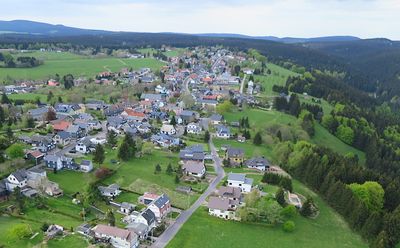
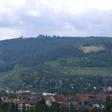
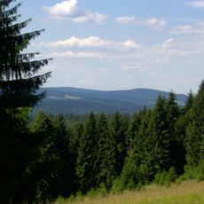
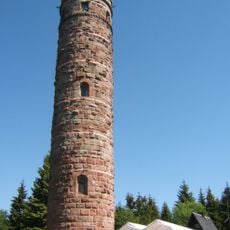
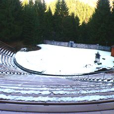
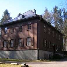
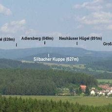
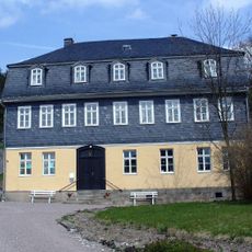
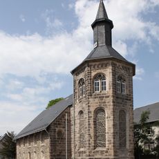
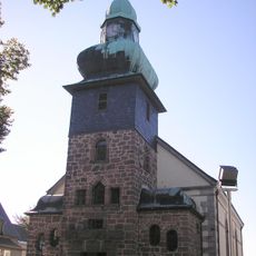
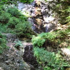
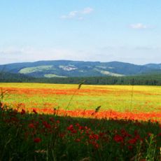
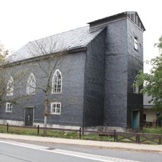
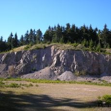
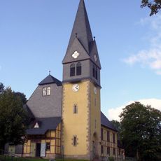
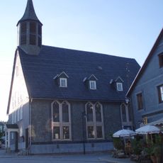
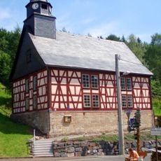
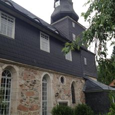
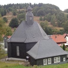
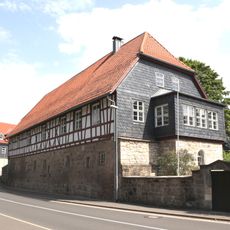
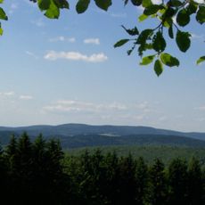
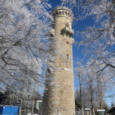
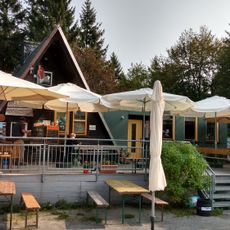
Frauenwald, municipality in Thuringia, Germany
Location: Ilmenau
Elevation above the sea: 750 m
Website: https://www.frauenwald.info/, https://www.frauenwald.de/
Shares border with: Schleusegrund, Langewiesen, Neustadt am Rennsteig, Nahetal-Waldau, Schmiedefeld am Rennsteig, Stützerbach
Website: https://frauenwald.info
GPS coordinates: 50.58111,10.85972
Latest update: April 6, 2025 20:12
Kickelhahn
9.6 km
Großer Finsterberg
7.5 km
Bunkermuseum Frauenwald
3 km
Adlersberg
6.7 km
Naturtheater Steinbach-Langenbach
6.4 km
Jagdhaus Gabelbach
8.8 km
Bunkermuseum Frauenwald
3 km
Großer Eisenberg
7.2 km
Goethemuseum Stützerbach
6.1 km
Michaeliskirche
5.3 km
Schinkelkirche St. Nicolai
35 m
Marktal und Morast
5.6 km
Kalte Stauden-Kopf
4.6 km
Gedächtniskirche
5.5 km
Großer Hundskopf
3.2 km
Schwefel-Kopf
5.2 km
Christuskirche Stützerbach
5.9 km
Kirche Altenfeld
7.3 km
Erlöserkirche
4.6 km
Dorfkirche Vesser
5.1 km
St. Jakobus
6.6 km
Weimarische Kirche Stützerbach
6.1 km
Holy Trinity Church
6.5 km
Jagdschloss Ernstthal
6.8 km
Neuhäuser Hügel
6.9 km
Kickelhahnturm
9.5 km
Adlersberg
6.7 km
Terrassenbad
7.1 kmReviews
Visited this place? Tap the stars to rate it and share your experience / photos with the community! Try now! You can cancel it anytime.
Discover hidden gems everywhere you go!
From secret cafés to breathtaking viewpoints, skip the crowded tourist spots and find places that match your style. Our app makes it easy with voice search, smart filtering, route optimization, and insider tips from travelers worldwide. Download now for the complete mobile experience.
A unique approach to discovering new places❞
— Le Figaro
All the places worth exploring❞
— France Info
A tailor-made excursion in just a few clicks❞
— 20 Minutes