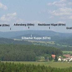
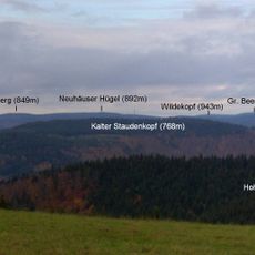
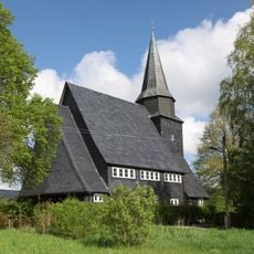
Großer Finsterberg, Mountain summit in Thuringian Forest, Germany
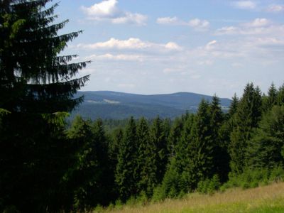
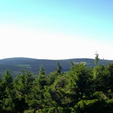
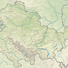
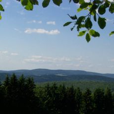
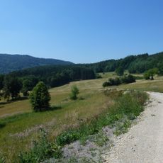
Großer Finsterberg is a mountain summit in the Thuringian Forest region that rises to 944 meters and ranks among the highest peaks in the state. The summit features natural mountain pastures with grasses surrounded by spruce forest.
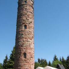
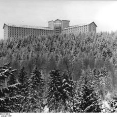
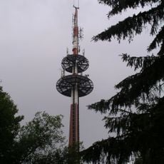
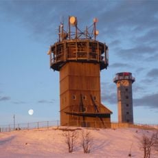
During the Cold War, the summit functioned as a Soviet military installation from 1954 to 1990 and remained closed to the public. After the fall of the Berlin Wall, visitors regained access to explore the mountain freely.
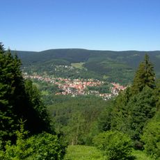
The mountain sits along the historic Rennsteig trail, which has guided people through this forest landscape for centuries. Hikers use the route today to explore the region by following these traditional paths.
Several hiking routes lead to the summit starting from the villages of Stützerbach and Schmiedefeld am Rennsteig through forest paths. Proper hiking gear is recommended as the trails can vary in difficulty depending on the season.
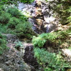
The summit plateau supports rare vegetation featuring mountain grassland and wet grasses surrounded by dense spruce forest lacking significant shrub layers. This plant community is characteristic of the higher elevations in the region and differs notably from forests at lower altitudes.
The community of curious travelers
AroundUs brings together thousands of curated places, local tips, and hidden gems, enriched daily by 60,000 contributors worldwide.